
The ocean is coming for us. It is a sort of primordial cosmic justice: life oozed forth from the sea, spent millions of years conquering the land, and finally, over the past century, human-caused greenhouse gas emissions mean a warming planet and a rising ocean. This year’s Paris Agreement is a step to halt the process, but the world is already warmer, and the ocean is rising.
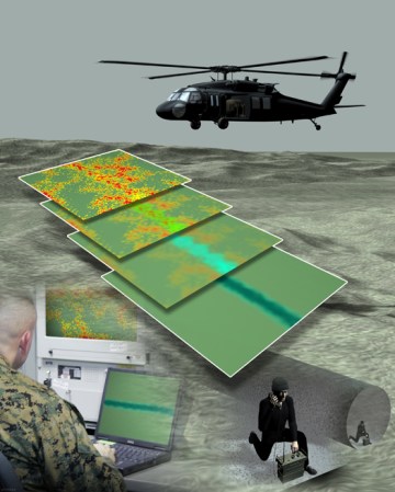
How the sea rises depends in part on the nature of Earth’s gravity, and to better prepare for a world of climbing oceans, the National Oceanic and Atmospheric Administration (NOAA) is going to map the gravity of the nation. With a drone.
From NOAA:
How exactly, does NOAA map gravity? Likely with an Airborne Inertially Referenced Gravimeter, which uses gyroscopes and accelerometers to plot inertia, and a laser beam that plots position on the ground. That, combined with checking locations against GPS data, and careful math to filter out all the noise in the data from the airplane itself moving, is likely what gives NOAA a precise measurement of the gravity of a given point on the ground, with an accuracy measured in inches.

At present, NOAA says it has already mapped the gravity of half the country using manned aircraft. Using drones, including crewed aircraft converted to fly remotely, they’ll be able to better reach and survey remote areas. The benefits? Department of Commerce estimates “$522 million in annual economic benefits and approximately $240 million saved from improved floodplain mapping alone.” The project is scheduled to finish in 2022.


