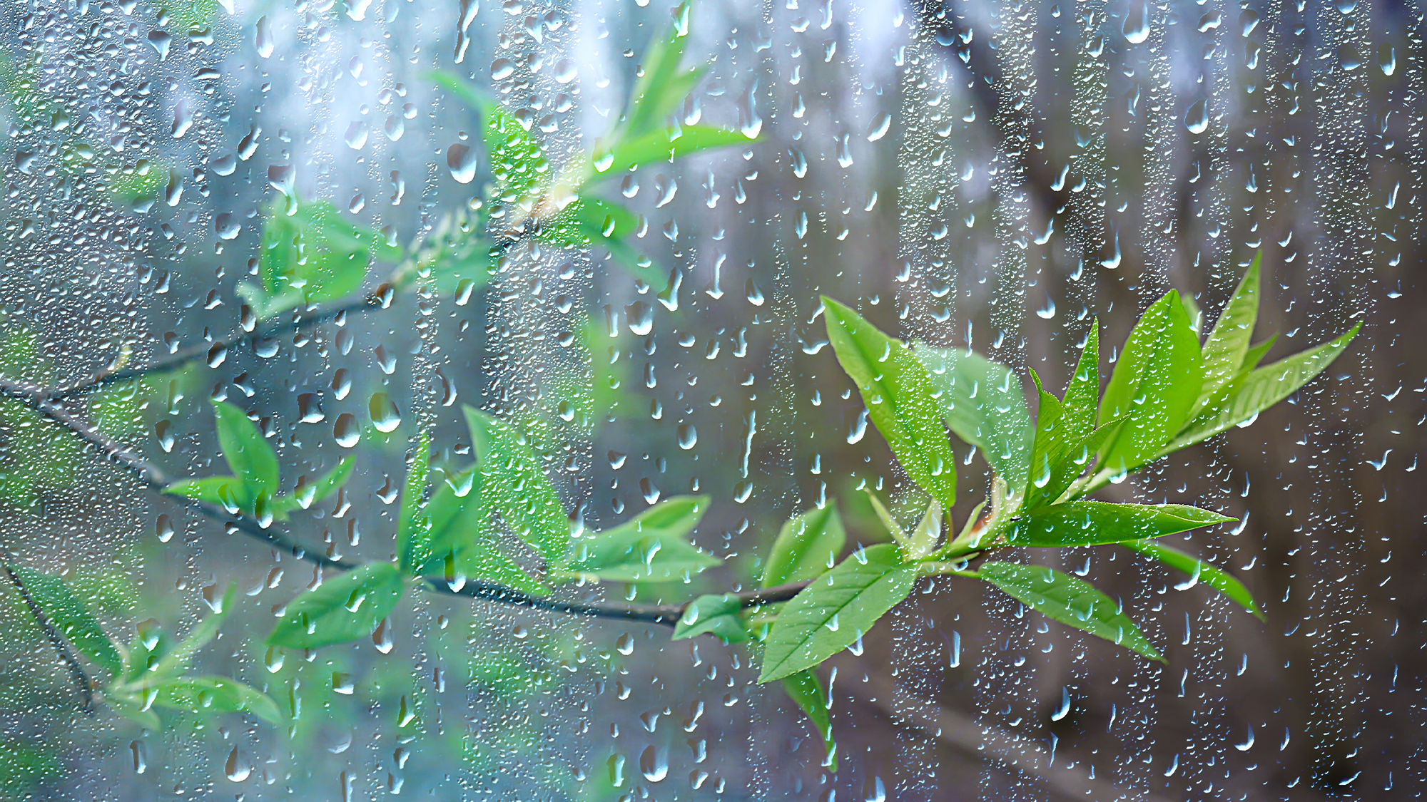
It’s officially the first day of spring in the Northern Hemisphere, which brings with it longer daylight, sneezy pollen from beautifully blooming trees and flowers, and warming temperatures. As the western United States continues to be pummeled by strong Pacific storms and drenching rains and snow, NOAA’s spring outlook is forecasting even more moisture to the drought stricken region.
The abnormally wet winter has stopped the exceptional and extreme drought in California for the first time since 2020. Melting snowpack throughout the spring is expected to further improve the dry conditions.
[Related: There are rivers in the sky—and one is causing raging rain over California.]
“Climate change is driving both wet and dry extremes, as illustrated by NOAA’s observations and data that inform this seasonal outlook,” said NOAA Administrator Rick Spinrad in a statement.
Last week, the 11th atmospheric river storm to hit California this season brought floods and landslides, but also enough rain to end water restrictions for almost 7 million people in southern parts of the state. The Metropolitan Water District of Southern California is the largest water supplier in the United States, serving up to 19 million people in six counties. The restrictions were put in place in 2022 due to the severe water shortage from persistent drought.
“Southern California remains in a water supply deficit. The more efficiently we all use water today, the more we can keep in storage for a future dry year,” wrote One Water Committee Chair Tracy Quinn in a press release. “And as we face climate whiplash, dry conditions could return as soon as next year. Metropolitan is committed to helping residents save water through our expansive rebate and incentive programs.”
The NOAA spring outlook also predicts that spring wet season to improve drought conditions elsewhere in the United States, including parts of the central and northern Plains and Florida.
Extreme and exceptional drought is forecast to persist in the southern high Plains and develop in parts of New Mexico, parts of the Northwest, and the northern Rockies. The Pacific Northwest and parts of the Southwest can also expect below average rainfall.
True “April showers” are forecast this spring, with above-average precipitation expected in the Great Lakes, Ohio Valley, and parts of the mid-Atlantic and Northeast. Great Lakes, Ohio Valley, and into parts of the mid-Atlantic and Northeast.
The highest flood risks from all of this rain includes the eastern half of the country and most of the Mississippi River Basin, as well as high elevations of the Sierra Nevada mountains.
[Related: Powerful atmospheric river pummels California with even more rain and flooding.]
“Approximately 44 percent of the US is at risk for flooding this spring,” said Ed Clark, director of NOAA’s National Water Center. “California’s historic snowpack, coupled with spring rain, is heightening the potential for spring floods.”
This same spring snowmelt will bring some much welcomed water to Lake Powell, formed by the Glen Canyon Dam on the Arizona-Utah border, and Lake Mead, located behind the Hoover Dam on the Nevada-Arizona state line. These reservoirs in the Colorado River Basin are currently at record low water levels following years of persistent drought. In December 2022, Lake Mead was at 28 percent capacity, compared to 100 percent in mid-1999. Lake Powell was at 25 percent capacity today after last being full in June 1980.
On the temperature front, warmer than average temperatures are expected in large swaths of the southern and eastern half of the United States, as well as in Hawaii and northern Alaska.
