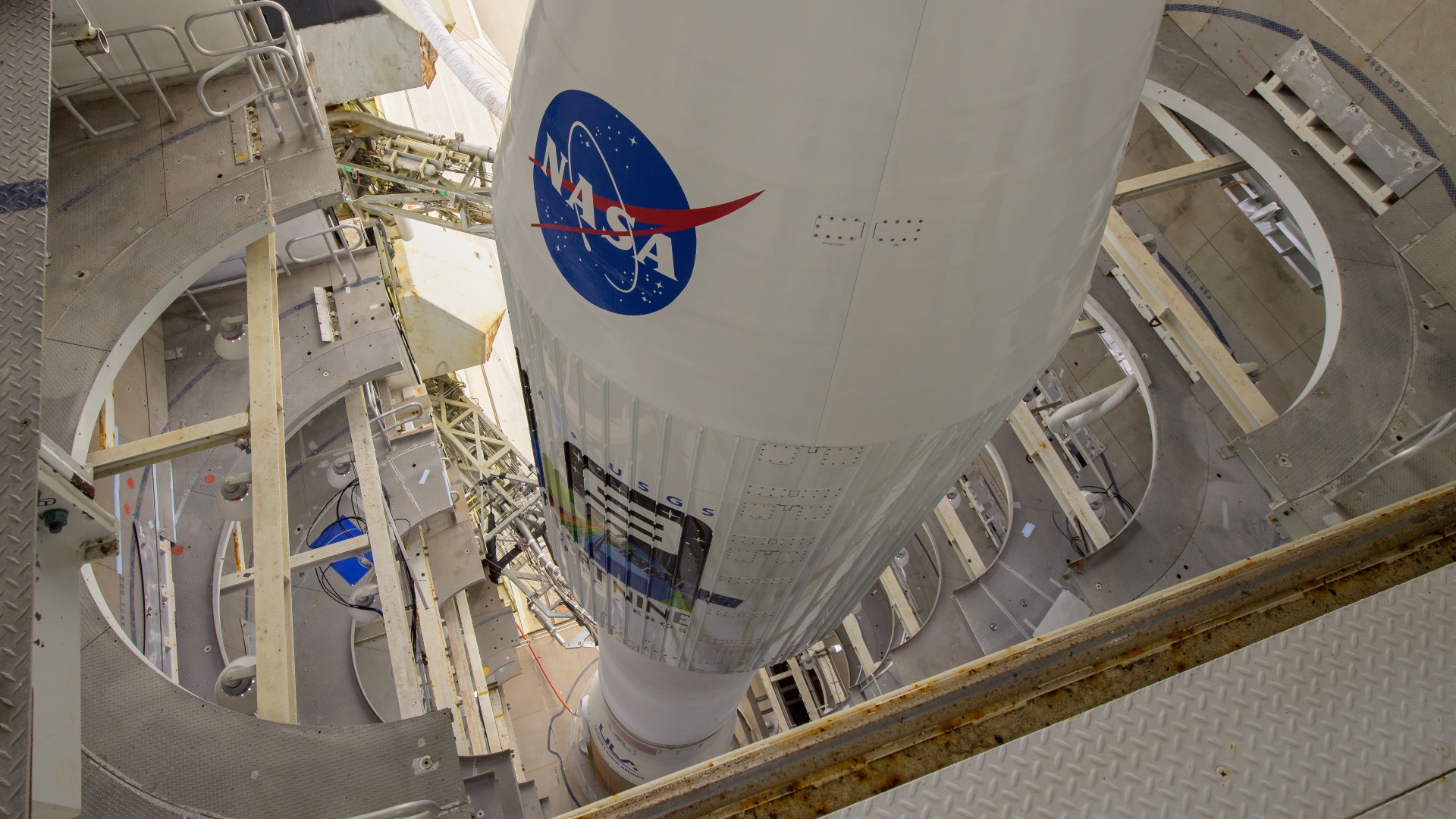
On Monday NASA launched Landsat 9, the newest in a series of Earth-observing satellites designed to track our planet’s surface and changes in land usage. NASA scientists say that data from Landsat 9 could help create strategies to mitigate the climate crisis.
The satellite’s final orbital route will regularly take it over both of Earth’s poles. Working in tandem with its sister satellite, Landsat 8, NASA will receive pictures of the entire globe every eight days. To do this, Landsat 9 is equipped with instruments like the Operational Land Imager-2 and the Thermal Infrared Sensor-2. With all these component parts, Landsat 9 can scrutinize Earth with incredible precision.
“As the impacts of the climate crisis intensify in the United States and across the globe, Landsat 9 will provide data and imagery to help make science-based decisions on key issues including water use, wildfire impacts, coral reef degradation, glacier and ice-shelf retreat, and tropical deforestation,” said Secretary of the Interior Deb Haaland in a NASA statement.
The first Landsat satellite was launched in 1972, as a collaboration between NASA and the US Geological Survey (USGS). In the nearly 50 years since, NASA has continually kept at least one Earth-observing satellite in orbit to monitor our planet’s surface changes. Landsat data has informed resource management, mapped tectonic plates, and aided navigation in poorly charted territories. Landsat 9 will hopefully further that legacy with observations on the climate.
[Related: SpaceX’s Inspiration4 shows spaceflight is changing fast—and science must keep up]
“Landsat 9 will be our new eyes in the sky when it comes to observing our changing planet,” Thomas Zurbuchen, associate administrator for science at NASA, said in a statement. “We are getting a more comprehensive look at Earth than ever before. With these satellites working together in orbit, we’ll have observations of any given place on our planet every two days. This is incredibly important for tracking things like crop growth and helping decision makers monitor the overall health of Earth and its natural resources.”
Also onboard the Landsat 9 are four small “cubesats,” miniature satellites a bit larger than a Rubik’s cube. Once the satellite is settled into its orbit in the coming weeks, the cubesats will deploy and assist in a variety of scientific observations, like measuring solar wind and ultraviolet radiation coming from stars. But on the whole, Landsat 9’s biggest task is monitoring our climate.
“We’re able to look specifically at climate and climate-change impacts on ecosystems,” Jeff Masek, NASA’s Landsat 9 project scientist, said to Space.com. “We’ve mapped areas of increased plant cover at high latitudes due to a warming climate. We’ve also seen areas of vegetation decline in water-limited semi-arid environments.”
Landsat data and images are free and available to the public, a move that the USGS says has yielded more than $3.45 billion in economic benefits to society.
