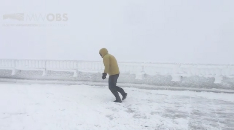

If you’re checking the weather app on your phone on a cold day, it might say that the current temperature is 25°F, but “feels like” 15°F. Don’t worry, meteorologists aren’t calling up your aunt to ask her how cold she feels. Instead, they’re using a somewhat mysterious calculation to determine what’s known as wind chill.
With some regions of the US experiencing the coldest air of the season right now, it’s necessary to understand what wind chill is and why it’s an important metric.
What is wind chill?
“It’s how it feels when you’re out in cold weather with wind blowing,” says Bob Oravec, a lead forecaster for the National Weather Service (NWS) at the Weather Prediction Center in College Park, Maryland. “So it feels colder than it actually is.”
The faster the wind blows, the more cold air moves across your skin’s surface and cools your skin’s temperature, he says. It’s similar to blowing on hot soup to cool it down.
“You’re producing a wind chill for that hotter surface,” Oravec says. “You can think of yourself as a soup and then the wind is somebody blowing on you.”
Brrrr. So how is it calculated?
Researchers at the NWS use a mathematical formula to calculate wind chill. In that formula, the wind speed in miles per hour (v) is subtracted from the air temperature in degrees Fahrenheit (T). It can be used in temperatures below 50°F and wind speeds above 3 mph. Or if you don’t want to do the math yourself, you can use this nifty little calculator created by the NWS.
The whole calculation is based on the speed of body heat loss in various temperatures. In 1945, scientists Paul Siple and Charles Passel created the original wind chill index, aptly named the Siple and Passel Index, by experimenting in Antarctica with how long water took to freeze in different wind speeds, according to the NWS.
[Related: How to stay warm while sleeping in the frigid outdoors]
In 2001, the NWS and the Meteorological Services of Canada updated the formula and index based on human trials with 12 volunteers. The volunteers were placed in a chilled wind tunnel with various temperatures and wind speeds while walking at 3mph on a treadmill. Researchers then measured the heat flow from their cheeks, foreheads, noses and chins.
It’s important to note that wind chill has its limitations. It’s based on a sample size of only 12 people, assumes no impact from the warmth of the sun, and always calculates wind speed at five feet—the NWS’ assumed height of most people. Because of this, some meteorologists and thermodynamics experts say it should be replaced with a more complex metric like the Universal Thermal Climate Index. However, Oravec says wind chill is useful as a quick gauge for how to bundle up.

Why should I care about wind chill?
Wind chill doesn’t just make it uncomfortable to be outdoors—it can also make it unsafe. “You can develop frostbite quicker if you have exposed skin with strong winds,” Oravec says.
[Related: How to avoid (and treat) hypothermia]
When living tissue freezes, the effect is called frostbite, which can happen any time the air temperature dips below 32°F. Your skin has a layer of insulating air around it, and when wind disturbs that insulating layer, it can hasten the loss of heat and cause your skin to freeze. Frostbite sometimes lead to cell damage, and even causes skin or other soft tissues to die. The table above shows the wind chill at different temperatures and wind speeds, and also how long it would take for exposed skin to get frostbitten in different wind chill temperatures.
But there are ways to protect yourself against wind chill and frostbite. Besides taking a “trip to Florida,” Oravec recommends bundling up and covering any exposed skin, including your face. So if you live in chillier climates, it might be time to invest in a good ski mask. It’ll look good layered under your N95 one.


