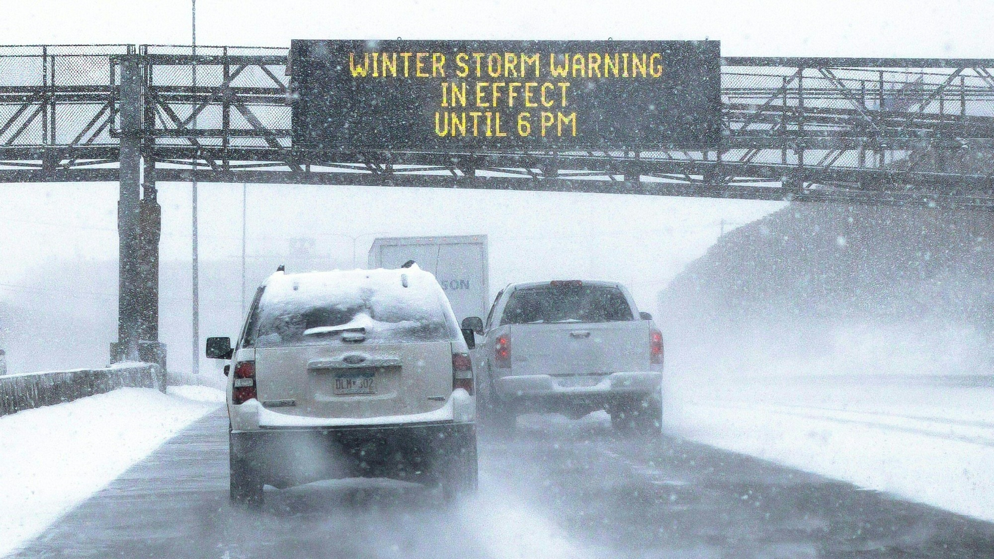
Over 65 million people across 29 states from California to Maine are under winter weather alerts today. A powerful coast-to-coast storm is moving across the entire United States and it won’t wrap up until Friday. Severe icing, sleet, and extreme cold are likely to impact travel and cause power outages.
The storm will move east along a zone of contrasting temperatures, with record-challenging warm air to the south and cold air associated with the polar vortex to the north.
[Related: 10 winter survival tips everyone should know.]
In the West, strong winds tore down power lines and knocked out electricity for more than 140,000 homes and businesses in northern California. The state is still bracing for several feet of snow in the mountains, according to the National Weather Service (NWS) in Los Angeles. The deluge follows nearly two months of deadly flooding from multiple atmospheric rivers dumping rain on the drought stricken state.
Blizzard-like conditions shut down parts of Interstate 80 in Wyoming on Tuesday, with close to 115 miles of Interstate 25 shut down as well.
The Upper Midwest is expected to see the most snow from the storm. The Twin Cities area in Minnesota is expected to pick up at least 15 inches of snow by Thursday and possibly over two feet over next two days, which would break the previous record for snowfall from a single February storm (13.8 inches). The National Weather Service (NWS) called the three-day storm “historic” and forecast that it “will bring widespread accumulating snow, with blowing and drifting snow mainly Wednesday through Thursday.” The snow paired with gusty winds will make travel dangerous and Governor Tim Walz directed the state’s transportation department, national guard, and state patrol to be ready for severe impacts.
Icing conditions are expected to begin in Milwaukee, Wisconsin, Detroit, Michigan, and from northern Illinois to the southern tier of New York and into New England Wednesday.
Snow, ice, and rain are expected to be more spread out in the Northeast, with icing expected more on elevated surfaces in central portions of Pennsylvania, New York’s lower Hudson Valley, and central portions of New England. Major metropolitan areas like New York and Philadelphia should see rain with some icy mixing later, and it’s all rain for Washington DC and Baltimore.
[Related: Persisting winter storm conditions bring snow, tornadoes, and thunder to Eastern US.]
Northern parts of Vermont, New Hampshire, and Maine should see the heaviest snowfall of anywhere in the country at a range of 12 to 18 inches. Coastal Maine and Upstate New York could also see six to 12 inches of snow.
On the warmer side of the temperature line, severe thunderstorms, damaging winds, and rain are expected in parts of Oklahoma, western Arkansas, Missouri, and western Illinois throughout Wednesday.
Ahead of a winter storm, the American Red Cross recommends monitoring local weather reports, having emergency supplies that include extra blankets and warm fluids, and avoiding travel until after the worst weather is over.