It’s been a wild and dangerous week for weather in the US. With record cold and snowfalls across nearly the entire country, many Americans are wondering what exactly is going on. Here are some answers to your most burning questions.
Why did wind turbines fail in the winter storm?
Sweden, which is no stranger to chilly winters, gets roughly 12 percent of its power from wind, so it might seem strange that turbines in Texas failed in the cold and snow. There are even plenty of wind farms in Minnesota and Iowa. But the answer to this is actually pretty straightforward: you have to pay extra for winterized wind turbines.
The average low during winters in Houston is in the 40′s, with daytime temperatures in the 60′s, and it’s much the same in Austin and San Antonio. Parts of the state get colder—temps can drop to the 30s in El Paso at night—but most of the state has mild winters with little to no snow. So when power suppliers build wind turbines, they’re unlikely to foot the cost of winterizing when it’s probably unnecessary. The winter storms hammering the country right now are extremely unusual. So it’s not a question of whether renewables like wind can work in the winter—they most certainly can—it’s a question of whether power companies pay for the cost to winterize.
It’s also worth noting that most of the lost power capacity in the Texas power grid was due to failures at natural gas power plants. Though many politicians have claimed that renewables were to blame, it was fossil fuels that failed in the time of need.
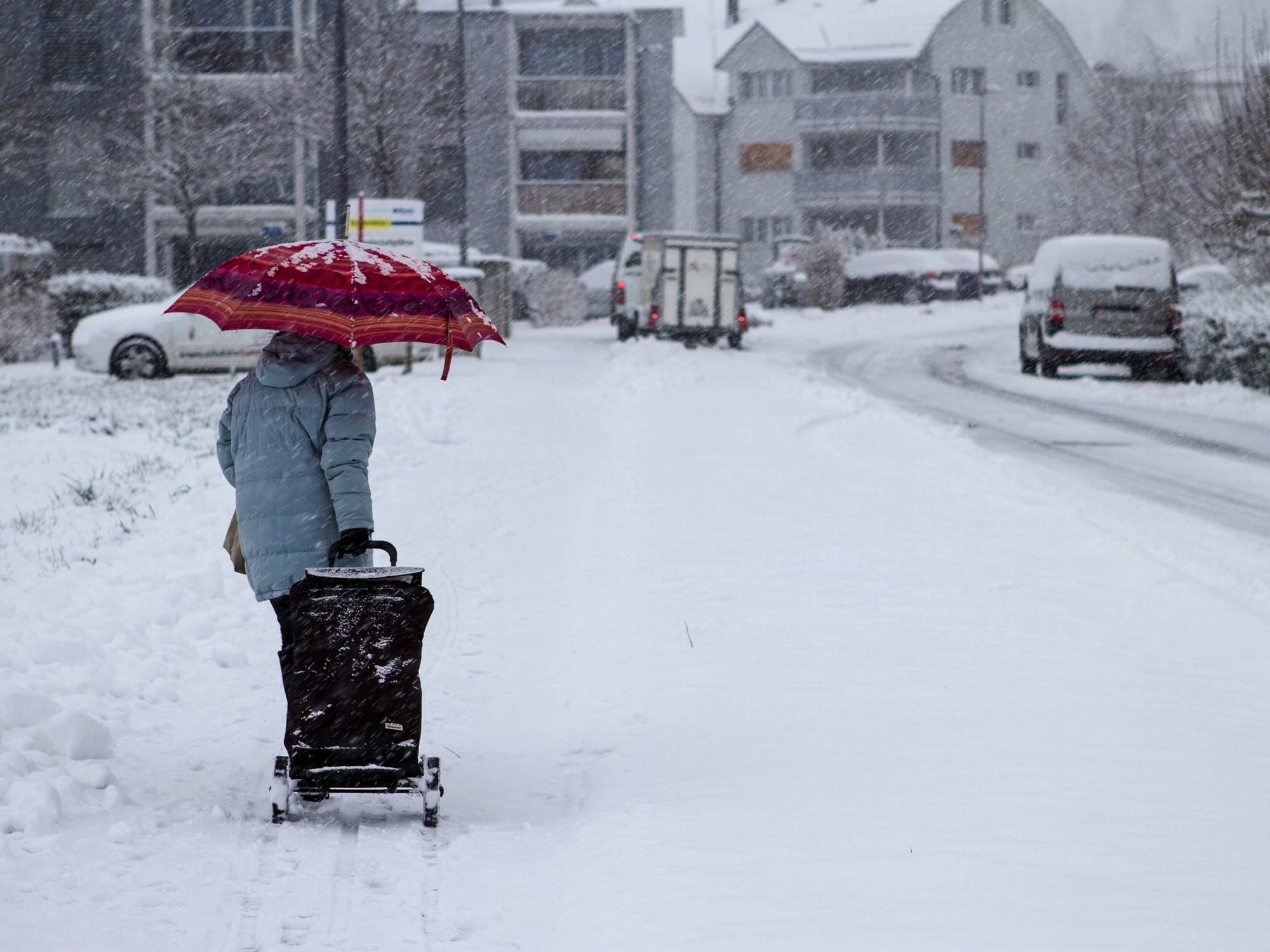
Is this much snow normal?
Though places like Texas and Oklahoma are seeing what is obviously far more snow than normal, people in other areas like the Midwest and mid-Atlantic may be wondering how standard it is to have this much wintery weather. Pre-global warming, maybe this was the norm.
This is actually a surprisingly difficult question to answer, though. The National Weather Service noted that the percent of the continental US covered by snow this week—nearly three-quarters—is the “greatest extent on record.” But they also note that the record only dates back to 2003.
For most of history, the way in which we measure snowfall has changed. Originally it was measured by melting down the snow and calculating the snowfall as 10 times the depth (so one inch of water = 10 inches of snow). But as Christopher Burt, a weather historian, points out, the actual average ratio is more like 12:1 or 13:1. Later on, snowfall was measured with a simple ruler, though how frequently and where that measurement took place varied. Then in the latter half of the 20th century, snowboards became more popular (not the winter sport, but rather a literal wooden board). Snowboards are placed outside and the snow on top is measured as often as four times a day, versus maybe once or twice, which meant that snow totals increased because the snow was always being measured at its freshest and fluffiest.
What little research has been done on trends in snowfall has generally found that snowfall is declining overall since the 1920s, with the sharpest declines in the Pacific Northwest and mid-Atlantic, and averages are coming down in most of the Northeast. The areas in the lee side of the Rockies and by the Great Lakes, however, have generally seen increases.
It’s also worth noting that every year, people seem surprised when there’s substantial snowfall in late January and early February. The truth is that many places in the US see more than half of their annual snowfall after January 15. While the West generally gets more early in the year, cities like Chicago, New York, and Boston get upwards of 60 percent of their snow after mid-January.
Are winter storms going to get more severe?
We know that, in general, extreme weather is only going to get more common with global warming. But attributing winter storms in particular is challenging. Intense outbursts of cold like this are the result of the jet stream circling the north pole becoming unstable, such that part of it dips down across the continent and releases icy arctic air. Some research suggests that jet stream abnormalities will become more frequent as the climate warms, but there are also studies suggesting that the jet stream will actually stabilize.
We do know that cold temperatures in general will get less common as the planet warms, of course, so as time goes on our perception of what’s cold may also change. What’s considered cold in 2081 could be a warm day in 2021.
That said, this was certainly an unusual, if not unprecedented, cold snap. Most southern states saw their coldest temperatures in decades. But it’s also worth noting that in 1899, Tallahassee saw subzero temps, and New Orleans residents watched ice float down the Mississippi to the frozen Gulf of Mexico.
Is the same storm affecting the whole country?
Winter Storm Uri (yes, we name winter storms just like hurricanes) was a true coast-to-coast storm. It started in the Pacific Northwest, then swept east and south to Oklahoma and Texas before turning towards the Northeast. Uri brought massive snowfalls everywhere it went. The recent snowy weather in the Midwest and mid-Atlantic/Northeast are caused by a different storm, Violet, which has blanketed much of the country in another layer of fresh powder.
Snowstorms of this magnitude are unusual, but not unheard of. And though the snowfall itself is from Uri and Violet, the intensely cold air isn’t due to the storm fronts. That’s due to the arctic outbreak (NOT a polar vortex!) that’s currently pummeling the continent with polar air.
