In California’s San Joaquin Valley, the land around the Tulare Basin has unique dips and rises. The culprit of these strange divots isn’t the earthquakes that plague the West Coast. They are from the human-made wells used to unearth the area’s groundwater—the water held in the area’s soil.
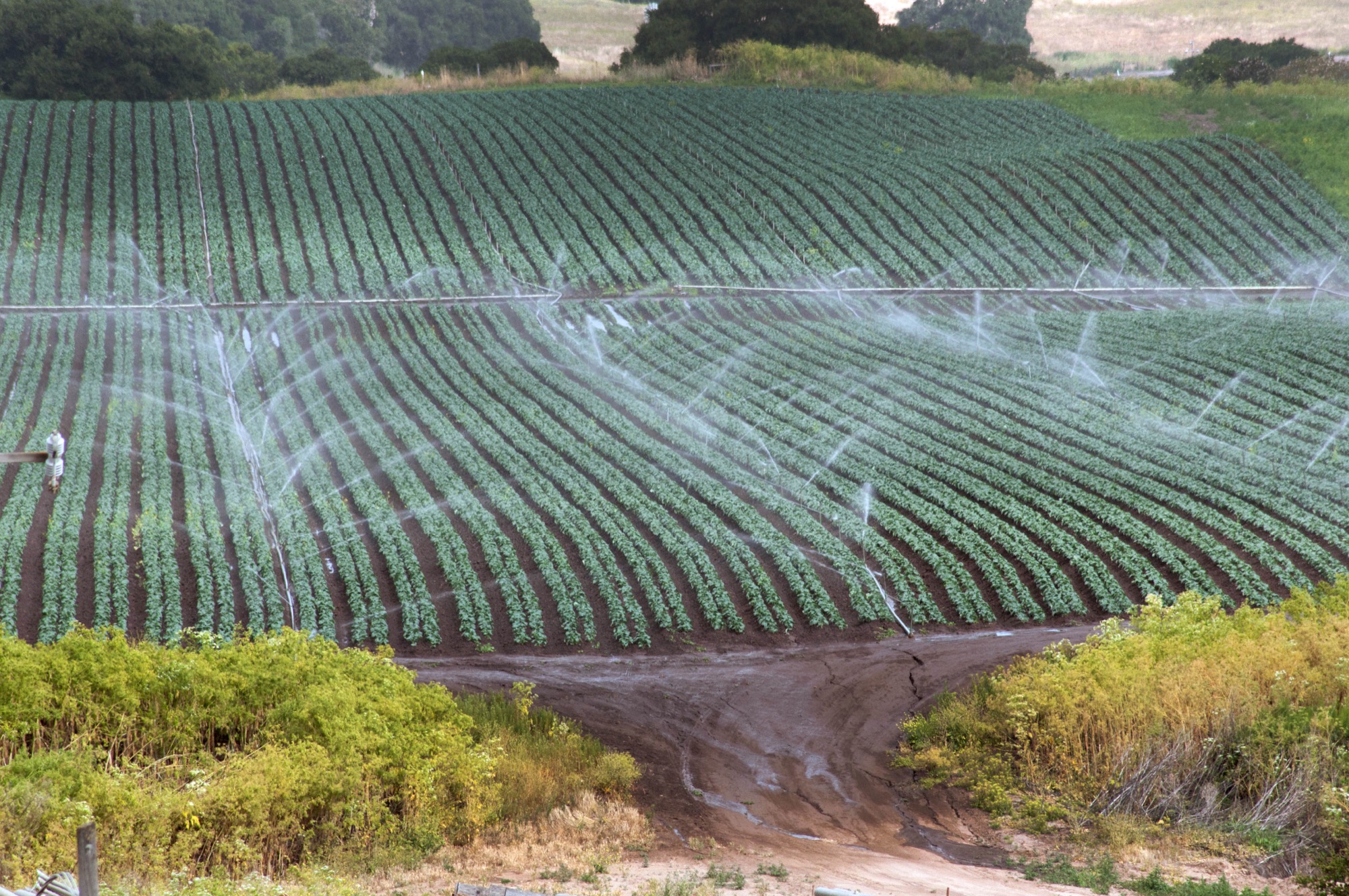
The San Joaquin Valley is one of the most agriculturally productive regions in the US, providing nearly half the nation’s food. The Tulare Basin, a historic watershed in the Central Valley Aquifer system, collects most of its water from the snowmelt runoff from nearby mountains, with some also imported from other aqueducts and canals. The entire aquifer system provides drinking water for about 6.5 million residents. But between California’s recurrent droughts, water shortages, and the increased risk of wildfires, humans have been pushing underground water resources to their limit.
In fact, we’ve pumped so much from the Tulare aquifer that California’s groundwater is in danger of running out. While local efforts have long worked to tackle Tulare Basin’s diminishing water, government agencies are stepping in with creative solutions. Recently a team of NASA hydrologists offered a new vantage point to monitor and inform underground water management: orbiting satellites. The study was published on March 9 in the journal Scientific Reports.
Underground water basins typically occupy the space between soil and rock particles, and can be used to support the local water bank supply in case of droughts. This groundwater is a kind of “savings account” that we depend on for all sorts of urban and agricultural needs, says Kyra Kim, second author of the study and water resources researcher at NASA’s Jet Propulsion Laboratory.
“Because the [Tulare Basin] supports such a flourishing agricultural business, one downside of that is it requires a lot of water to sustain,” she says.
[Related: We’re barreling towards another Dust Bowl]
As these agricultural practices and other human activities have drained the land system to excess, the top layers of earth have gradually sunk. This problem, called subsidence, can happen due to the subsurface movement of the planet’s natural resources like salt, oil, or in this case, water. While subsidence isn’t necessarily a surprise, scientists in the community and at NASA have been alarmed by how much faster land in the Central Valley has been sinking during periods of drought. It’s caused the Tulare Basin to sink at a rate of about a foot a year.
Subsidence can also cause structural damage to Earth’s surface, including the things we build on top of it. “We’re damaging civil infrastructure like roads, bridges, pipes, and we’re seeing the surface sink as high as a foot a year,” says Kim, adding that “you’re sometimes permanently losing that storage space for water, so it’s almost as if you’re decreasing the overall limit for your savings account.”

Subsidence can also cause structural damage to Earth’s surface, including the things we build on top of it. “We’re damaging civil infrastructure like roads, bridges, pipes, and we’re seeing the surface sink as high as a foot a year,” says Kim, adding that “you’re sometimes permanently losing that storage space for water, so it’s almost as if you’re decreasing the overall limit for your savings account.”
Groundwater levels can be restored after a wet, rainy season, explains Thomas Meixner, a professor of hydrology at the University of Arizona. He likens the earth to a sponge that constricts when people “squeeze” water out, and plumps up when water is absorbed. However, communities and industries are “pulling water out faster than it’s being recharged or replenished,” Meixner says.
Scientists also do not have a clear baseline of water reserves, Meixner says, which adds even another obstacle in measuring how much of the precious resource is being used over time. “Getting more precise estimates of what the actual change of volume of groundwater is can really assist us with better managing these groundwater basins,” he says.
NASA has previously used satellite data to help the Central Valley evaluate water levels and the impact of over pumping groundwater. Now Kim’s team is offering new insight. They created a model to investigate month-to-month variations in two of the sinking layers of soil in the Tulare Basin. They drew upon water loss data from two satellites, the Gravity Recovery and Climate Experiment (Grace) and Grace Follow-On. They also combined it with data on ground level changes from an ESA Sentinel-1, a constellation of two satellites that can perform continuous radar mapping of the Earth’s surface height.
[Related: Artificial intelligence could help farmers water only the thirsty plants]
“The relationship between groundwater depletion and land subsidence is not going to be linear in time and space,” Kim says. That means that these dips and rises don’t always line up with their expected causes. According to the study, while a heavy rainfall would refill the aquifers water levels, instead of making the land rise, it would sometimes make it sink instead.
These short-term changes can help the scientists make sense of what local communities and farmers need to do to better ration water resources on a timescale that is more realistic to local and legislative management, she explains.
Satellites traditionally have an easier time monitoring and viewing winding rivers and lakes than changes in water underground. But the Grace satellites use gravity to measure how much water mass there is under the Earth’s surface. The team’s findings showed that these topographical changes are attributed to volume changes in the aquifers, not by events like heavy rainfall that can affect water levels.
In the next steps of the research, Kim wants to combine this new data with the NASA-ISRO SAR mission (Nisar) to create a better model of natural resources in other areas in California, and possibly, around the globe. Planned to launch in 2023, Nisar is a joint effort between NASA and the Indian Space Research Organization—an international partnership that will help widen the scope of environmental data. The three-year long mission will measure Earth’s changing ecosystems and ice masses, and provide scientists with detailed information on natural hazards, rising sea levels, and groundwater.
“Overall, the culture around water is changing,” says Kim. “We’re really seeing a shift towards more hands-on management with water, which is a really positive change.”
