Before we start the day, it’s almost second-nature to whip out our phones and open the weather app to see if you should grab an umbrella or sunglasses. But some scientists have created software that allows you to tell an app what the local weather is like instead.
Researchers at ETH Zurich collaborated with the European Space Agency to build Camaliot, an app that uses a smartphone’s location data to improve live weather forecasting research. Launched on March 17, the crowdsourcing platform allows the public to participate in culling information and helps scientists create better ways to monitor the skies. Currently, the app is only available for Android devices.
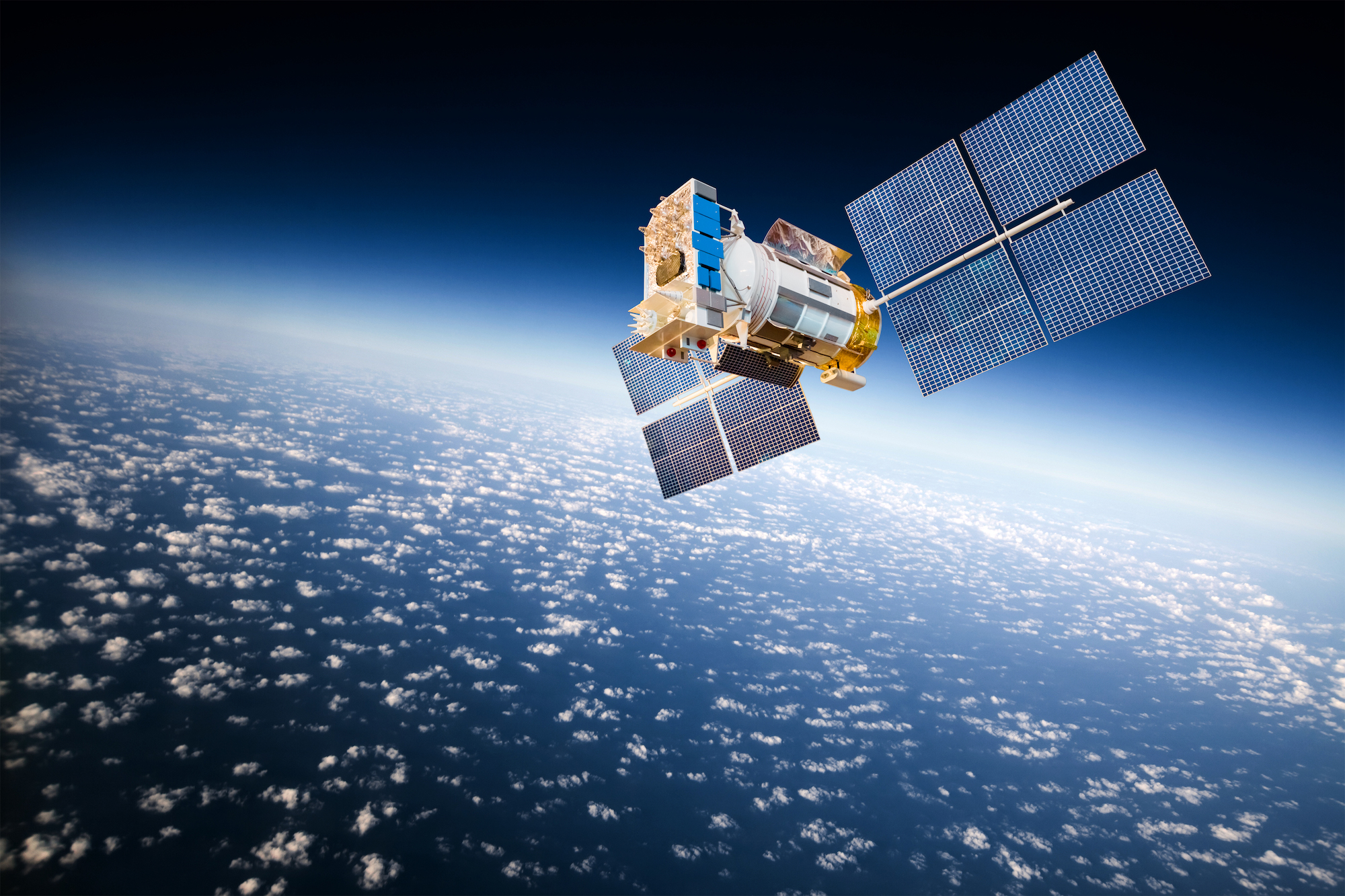
Camaliot essentially turns your phone into a receiver for weather monitoring data. The app uses mobile technology to gather large bundles of raw data from the Global Navigation Satellite System (GNSS), a constellation of satellites that provides geo-spatial positioning data, better known as GPS. When these satellite signals beam the GPS data down to Earth, the time it takes for it to reach receivers on the ground (like your phones) can be used to detect the amount of water vapor in the atmosphere. The more time it takes for the data to travel means that there could be more water vapor in the air slowing down the signal.
While the app is running, these water-altered signals are then passed on Camaliot’s servers in Switzerland, to eventually be used in machine learning algorithms that are programmed to make weather predictions, like rainfall. As the data passes through a brewing rainstorm, and is slowed by the moisture, the AI gains insight into the amount of rain in the area through the data uploaded.
The app can also be used to improve forecasts even beyond the planet’s atmosphere. Because GNSS data can also be used in low-earth orbit, Camaliot’s data can help scientists build space weather predictions, a vital feature considering that cosmic events like solar flares can cause damage to our satellites and communication networks.
[Related: How harpoons, magnets, and ion blasts could help us clean up space junk]
Because Apple’s iOS system restrictions prevent Camaliot from getting access to raw GPS data, the app is not currently available for iPhones or desktop systems. However, it is freely available across 50 Android devices, and can be downloaded from the Google Play store.
Current weather monitoring and forecasting models can be expensive and have varying levels of accuracy. So, the team at ETH Zurich thought of tapping into the powerful, compact machines that billions of people now carry in their pockets. Smartphones open up new opportunities for space weather researchers, says Benedikt Soja, project scientist for Camaliot.
“Traditionally, if you use GPS measurements for atmospheric sciences, then these are only recorded at very selected sites all over the world,” says Soja, who is also an assistant professor of space geodesy at ETH Zurich. “And there are a lot of big gaps in the network of these GPS stations.”
A single station can cost thousands of dollars and is positioned in just one spot above Earth. Meanwhile, cell phones are capable of providing geolocational data on a global scale 24/7—casting a much wider web of Earth’s local weather phenomena than faraway satellites.
But relying on smartphones comes with a hitch. During the first few days of its crowdsourcing campaign, the app experienced multiple server crashes, in part due to the sheer volume of people logging in to contribute their data. (Site crashes and bandwidth failures are a common occurrence with large crowdsourcing projects). Now, in the second month of its four-month campaign, the app has more than 9,000 users and upwards of 9 billion GNSS measurements have been made so far.
How does it work?
To see just how easy it was to join in on the weather data collecting, I was curious enough to try Camaliot myself. Here’s what I found out:
After downloading the app and creating an account, Camaliot’s home page recommends that you find a flat surface near a window, but anywhere with a clear view of the sky to set your device down on will do just fine. I set my phone down near the window in my living room, which typically gets a nice, clear view of the sky most nights. Clicking the “start logging” button will begin the session, and the app will start measuring your phone’s GNSS information based on quality and distribution, or the number of observations your phone has collected so far. You can run sessions for a few seconds to hours, it doesn’t matter how long you leave it on. When you’d like to wrap up, you can click the “stop logging” button to end the data collection.

Then users have the choice of uploading that data immediately, or later on. If they choose the latter, the information is saved on their device until they do decide to share it. Keep in mind, the data files are saved to your phone’s storage, so if you don’t have a lot of space on your phone, you might want to send the info sooner rather than later. I did notice, though, that Camaliot takes up much less space than my other apps, a mere 52 megabytes compared to Instagram app’s 221 megabytes. The app also hosts a leaderboard, which is a pretty entertaining feature where users can see how their uploaded data captures stack up in comparison to the number of measurements others have collected.
While it would be possible to collect satellite information without some of the bells and whistles that make the app so user-friendly, Soja says that taking a more interactive approach encourages people to join in and stay actively involved with the project.
[Related: 9 cool ways your family can help scientists collect data]
“If there is some element of gamification, then it really increases the interaction, and the likelihood that the people will gather more data significantly,” says Soja. At the time of this writing, my own rank wasn’t anything to write home about. Whether trying to surpass other users or fatten up my own score, I have to admit that the added competition makes using the app compelling, in a fun, yet nerdy way. And for those committed to beating the competition, you can win prizes. The people who gather a significant amount of data can take home Amazon vouchers and new phones.
Although plans to extend the app are still in the works, Soja says he imagines crowdsourced, citizen science projects will become widespread in more research fields beyond space weather as time goes on.
“Even though our project isn’t finished, we would like to keep the app running and still contribute to better forecasts with the data,” he says. According to Soja, overall success would be seeing their data being used in larger prediction models often seen on news and weather channels.
In truth, we may still be years out from creating humanity’s most accurate space monitoring tool, but for now, well—here’s an app for that.
