The United Nations weather agency is predicting that a La Niña weather pattern is positioned to last through the end of this year. This is the first “triple dip” event of this century, and refers to the three straight years of La Niña’s effect on global climate patterns like worldwide drought and flooding.
Yesterday, the World Meteorological Organization (WMO) announced that La Niña conditions have strengthened in the eastern and central equatorial Pacific with an increase in trade winds in recent weeks. The WMO predicts the continuation of the current La Niña pattern over the next six months, with a 70 percent chance in September to November 2022, but gradually decreasing to 55 percent in December to February 2022-2023. The current La Niña pattern began in September 2020.
A triple-dip La Niña has only happened two other times since 1950, with the most recent lasting from late summer 1998 through early spring 2001.
“It is exceptional to have three consecutive years with a La Nina event. Its cooling influence is temporarily slowing the rise in global temperatures, but it will not halt or reverse the long-term warming trend,” said WMO Secretary-General Petteri Taalas, in a press release. “The worsening drought in the Horn of Africa and southern South America bear the hallmarks of La Niña, as does the above average rainfall in South-East Asia and Australasia. The new La Niña Update unfortunately confirms regional climate projections that the devastating drought in the Horn of Africa will worsen and affect millions of people.”
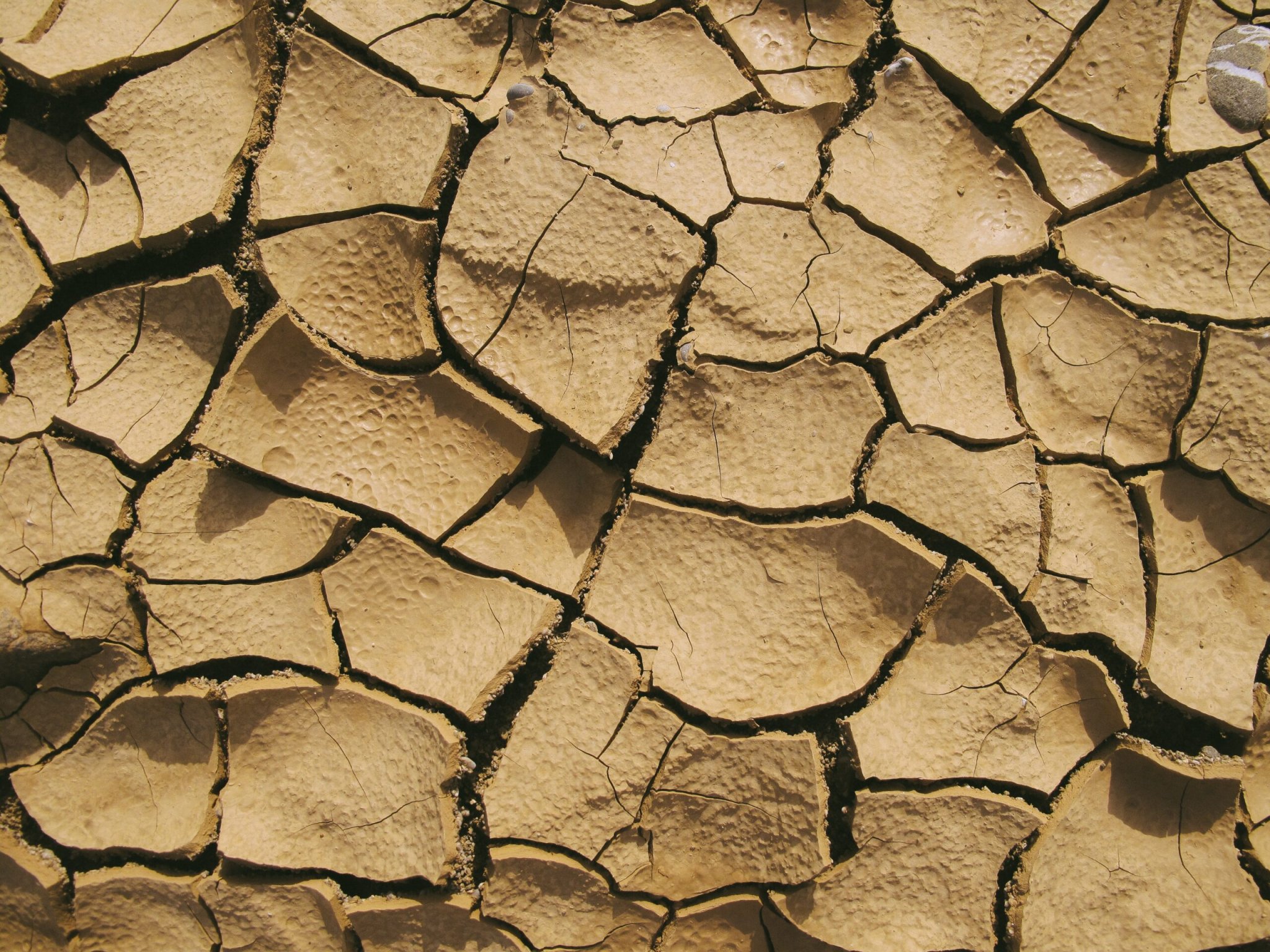
Ethiopia, Kenya, and Somalia are facing their worst drought in 40 years. On August 26, the WMO projected that drought is set to worsen following a fifth consecutive failed rainy season. The drought could lead to an unprecedented humanitarian catastrophe.

La Niña is a natural and cyclical cooling of ocean surface temperatures in the central and eastern equatorial Pacific Ocean. The cooling is coupled with changes in the tropical atmospheric circulation, particularly winds, barometric pressure, and rainfall. This cooling doesn’t mean that global-warming is letting up. During La Niña events, trade winds are typically stronger than usual and push more warm water toward Asia.
[Related: NOAA’s powerful new weather forecasting supercomputers are now online.]
Upwelling increases off the western coast of America, which brings cold, nutrient-rich water up to the surface. The colder surface waters in the Pacific Ocean push the jet stream north, which tends to lead to drought conditions in the southern part of the United States and heavy rains and flooding in the Pacific Northwest and Canada. Winter temperatures are warmer than normal in the South and cooler than normal in the North during a La Niña year, and the weather event can also lead to a more severe hurricane season.
El Niño has the opposite affect on global weather patterns: the trade winds weaken and warm water is pushed toward the west coast of the Americas. The Pacific jet stream moves south, giving areas in the northern US and Canada dryer and warmer than usual conditions, and wetter conditions in the Southeast and Gulf Coast.
[Related: It looks like we’re in for another La Niña winter. What does that mean?]
Together, these events are called El Niño/La Niña Southern Oscillation (ENSO). According to the WMO, recent scientific progress has helped our understanding and better modeling has improved prediction skills to within a range of one to nine months in advance. These warnings give countries better opportunities prepare for associated hazards like heavy rains, floods and drought.
“WMO will continue to provide tailored information to the humanitarian sector and to support sensitive sectors like agriculture, food security, health, and disaster risk reduction,” said Taalas. “WMO is also striving towards the goal that everyone should have access to early warning systems in the next five years to protect them against hazards related to our weather, climate and water.”