The New York City Subway map is a lie. Sure, it’s got all the subway lines and station names on it, but geographically, it’s flat out wrong.
Manhattan is about six times as long (13.4 miles) as it is wide (2.3 miles)—it takes most of a day to walk north to south but less than an hour to walk east to west. But this isn’t clear on the subway map. There, it looks like Manhattan is only three times as wide as it is long (and much bigger than it really is relative to the rest of the city). A casual jaunt across a few avenues looks like it takes way longer than it actually does.
The subway map is like this for a very good reason: a geographically accurate map would be a nightmare to read. By making Manhattan larger (and Staten Island much smaller) the map can clearly show the important relationships between the subway lines—but not true distance or how long connections will take.
The NYC Subway map isn’t the only one that lies: London’s, Paris’s, and Boston’s maps are all lies too. I know Dublin’s is as well, and I’m sure many other transit maps are too. And while the lies they tell are useful, they can lead you astray if you’re looking for the best way to get somewhere. What looks like it should take a few minutes on the subway can be a 30-second walk. It’s easy to waste time stuck on public transport—especially if you’re new to a city.
And that’s at the small scale. It’s just as hard, if not harder, to work out the best route between far-flung destinations, like, say, Asunción, Paraguay, and Lombok, Indonesia. There’s no direct route, so how do you know which airline will make the trip? Or how about Rio de Janeiro, Brazil, to Bamako, Mali? The answer is out there.
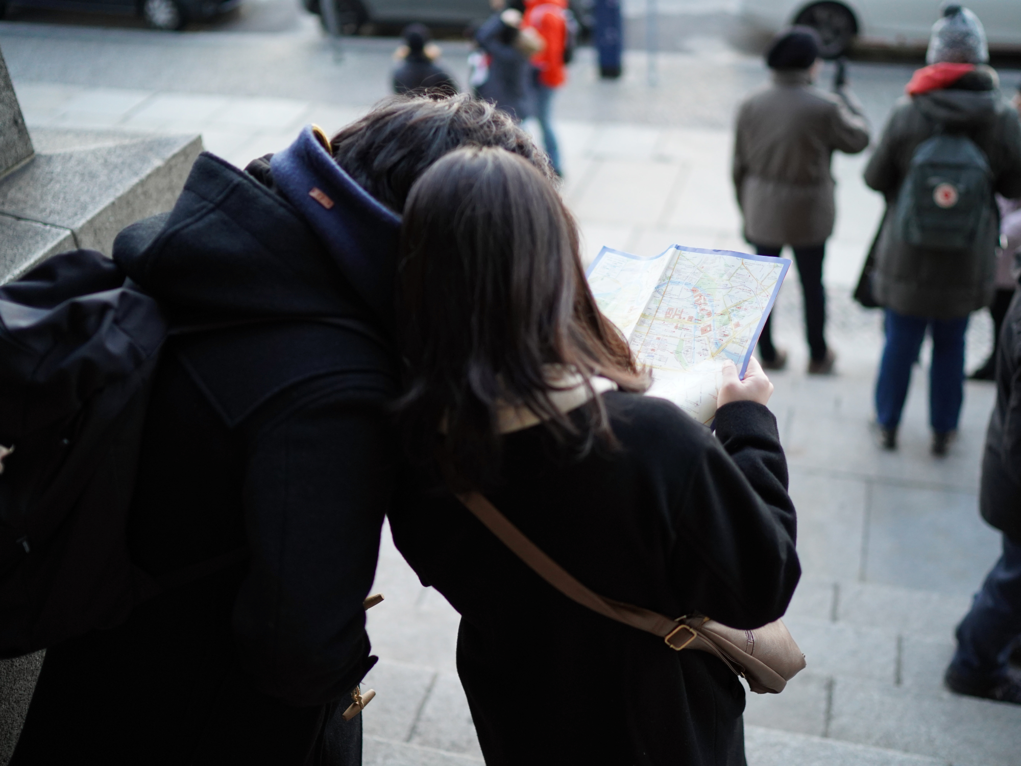
Travel tips for short journeys
Short journeys are by far the hardest to optimize. Saving 10 minutes on a cross-country road trip doesn’t matter that much, but it’s a big deal if you’ve normally got a 30 minute commute.
Think about how you want to travel
Best doesn’t always mean fastest. Sometimes it means most enjoyable (or in the case of commuting, least awful). For example, I’ll normally take a 30 minute walk over a 25 minute bus ride. Especially if you’re traveling, the hassle of learning how a new transit system works is often not worth it for short journeys—walk and you’ll see a different side of the city without having to deal with the maze that is many subway stations.
If you’ve got a preference for a certain mode of transport, it’s often worth traveling that way for short distances, even if it ends up taking you a little longer. As long as you’re not in a rush, the mental health payoff is huge.
Consider the city
Some cities, like NYC, are quite walkable. Others, like Los Angeles, simply aren’t. In Amsterdam, the best way to get about is by bike—whether you use the city’s docked bikes or rent one from your hotel. In large amounts of Southeast Asia, you’ll need to rent a scooter if you really want to explore. What works in one city might not work in another, so don’t get too committed to one mode of transit.
[Related: The pandemic has cities rethinking public transit]
And, while transit maps distort the truth, it’s worth looking at how the one relevant to your current city distorts it. If you’re on the outskirts, it may make long distances look walkable when they really aren’t. Similarly, the underground might be the most obvious route but the bus could be faster.
Try all the available options
If you’re not sure about the best mode of transport for you, experience them all. See what catching the subway is like, try cycling, or ride the bus. It’s often hard to predict what will end up being the most convenient, especially when there are a few competing options. LA has a low-cost public transit network, but ride-sharing is much less hassle for a reasonable price. Though the best thing I found for getting around West Hollywood were the dockless scooters. I wouldn’t have known about those unless I’d explored all my choices—or, rather, tripped over one on the street outside my friend’s house.
Don’t rely on map apps
Apps like Google Maps are really useful, but don’t rely on them as the final answer for how to get from place to place. They don’t take into account the hassle of packed subways, queues for escalators, and the heat of a train in summer. They can also lag a bit behind the real traffic time, so don’t just assume something is a 30-minute drive because Google says so—by the time you’ve driven halfway, you might still have another 30 minutes to go according to Google. I’ve been caught out by this on more than 11 occasions.
Travel tips for long, easy journeys
The easiest journeys to plan are the long ones between commonly linked cities. The best route between NYC and Dublin is simple: it’s the direct flight on the carrier you’re most loyal to. Delta, United, Aer Lingus, and more airlines serve the route, all the flights are the same length, they cost about the same, and they leave at roughly the same time each day.
Similarly, if you’re driving from Atlanta to New Orleans, you really just have to hop on the interstate—and stay there. Any detours you take are just going to slow you down.
With that said, however, there are still a few things you’ll need to consider.
Trains vs. planes
For long distances, or when you’re crossing oceans, the only real option is to fly. Driving from Miami to San Diego might be more fun than flying, but it’s definitely not better by most definitions.
But for shorter distances, things get more interesting. If two cities are separated by only a couple hundred miles, the train can be the best option. Take the roughly 240-mile trip from NYC to Washington, D.C. The New York Times found that the train took 3.5 hours and cost $106 (or three hours and $183 on the Acela Express), while flying (once you factored in transport to and from the airport and waiting inside the terminal) took four hours and 15 minutes, costing about $250 dollars. A clear win for the train.
[Related: All the ways we could make trains safer and smarter]
I’ve generally found that for distances less than about 300 miles, the train is as fast or faster than flying. After that, it becomes a tradeoff. If the train is significantly cheaper, it might be worth the extra time it takes to save some money and avoid baggage fees. Trains are generally a pleasant place to spend time anyway. But if the train is more expensive, flying makes more sense.
Of course, if you’re concerned about your environmental impact, always take the train.
When to drive
The best time to take your car is when you need it. Driving is almost always going to be more time- and mental energy-consuming than traveling by air or rail. If you need the cargo capacity or flexibility once you get to your destination, though, go with it.
The other time to drive is when it’s the only good option. Sometimes flights are so comically expensive or the route so roundabout that it just doesn’t make sense to do anything but drive.
Look at the overall cost
Cost is obviously a big factor when you’re traveling long-distance, but it’s important to factor in all the costs, not just tickets. I’ve booked flights with longer (or more) layovers to save $50 and then ended up spending $100 on food, drink, and other bits while sitting around waiting for my connections. If I’d just flown direct, I’d have saved $50 by paying $50.
It’s the same with red-eyes and overnight train trips. You save money on a hotel room, so make sure you consider that when you’re pricing things out. As a general rule, the more time you spend traveling, the more money you spend while you travel. That means shorter, slightly more expensive options can actually be cheaper than slightly less costly, much longer options.
Travel tips for big, awkward trips
So what’s the best way to get from Asunción to Lombok? It’s definitely flying, but with which airline and through what airports?
This is the kind of route that regular flight comparison websites like Kayak and Skyscanner struggle with. While they can quote you prices for specific dates, unusual routes like these can often be significantly better on certain days of the week, or much simpler if you get a bus or train to a different city in the same region. This is where one of my favorite tools comes in: Rome2Rio.
Rome2Rio is a travel comparison website designed for weird journeys. Whatever two points you’re trying to get between, it can string together a combination of planes, trains, and automobiles (and the occasional ferry) to make it happen. The best thing is you don’t have to search by specific dates—instead, it tells you what days different options are possible. For that hypothetical trip between Paraguay and Indonesia, the best day to go is a Monday or Wednesday—then it’s merely a 33-hour trip. Any other day of the week and it could take more than 65 hours.
Go with what feels good
Travel, whether you’re going 2 miles or 2,000 miles, can always find a way to undermine your carefully laid plans. Traffic jams, plane cancellations, and virus-induced shutdowns can all make a mess of your carefully optimized route. So, whatever you do, be prepared to mix it up and do something new if things change. Don’t just sit in a taxi in a traffic jam when you could walk the last 400 feet.