This story has been updated. It was originally posted on August 19, 2019.
Map apps have so thoroughly transformed the way we travel that it’s hard to imagine getting around without the assistance of our smartphones. With more than a billion people worldwide using Google Maps every month, the mapping app has become, by far, the most popular, both in its desktop and mobile versions. But as simple as it may be, Google Maps packs plenty of hidden features you can play around with.
If you have an Android phone, the app is most likely already installed on your device (check in the bundle of Google apps), but if you don’t have it, you can still download it for free from the Google Play Store. If you’ve got an iPhone, you can find it in the iTunes Store.
Download maps for offline use
There might be times when your phone loses service far from civilization, or when you’re traveling abroad without the luxury of a data connection. These two scenarios mean the same thing—no more loading map tiles.
You can guard against this by saving part of a map for offline use on Google Maps’ mobile app. To get started, tap your avatar in the top right of your screen and then Offline maps. You can choose from suggestions (like the area around your home address or places you’ve recently looked up), or you can tap Select your own map (Android) or Custom map (iOS) to specify a section of the map yourself.
[Related: Google Maps made some key changes. Use them to improve your commute.]
As you select your tiles, down at the bottom of the screen, you’ll see how much room the offline map will take up on your phone. That data storage is the only real downside to this feature, but you can delete any of your offline maps at any time.
Keep in mind that even though you can use a cached map without a data connection, you will lose certain capabilities, such as live traffic updates. To set how often the app automatically updates and clears the cache, tap the settings icon (the cog symbol) on the offline maps screen.
Find stop-offs along your route
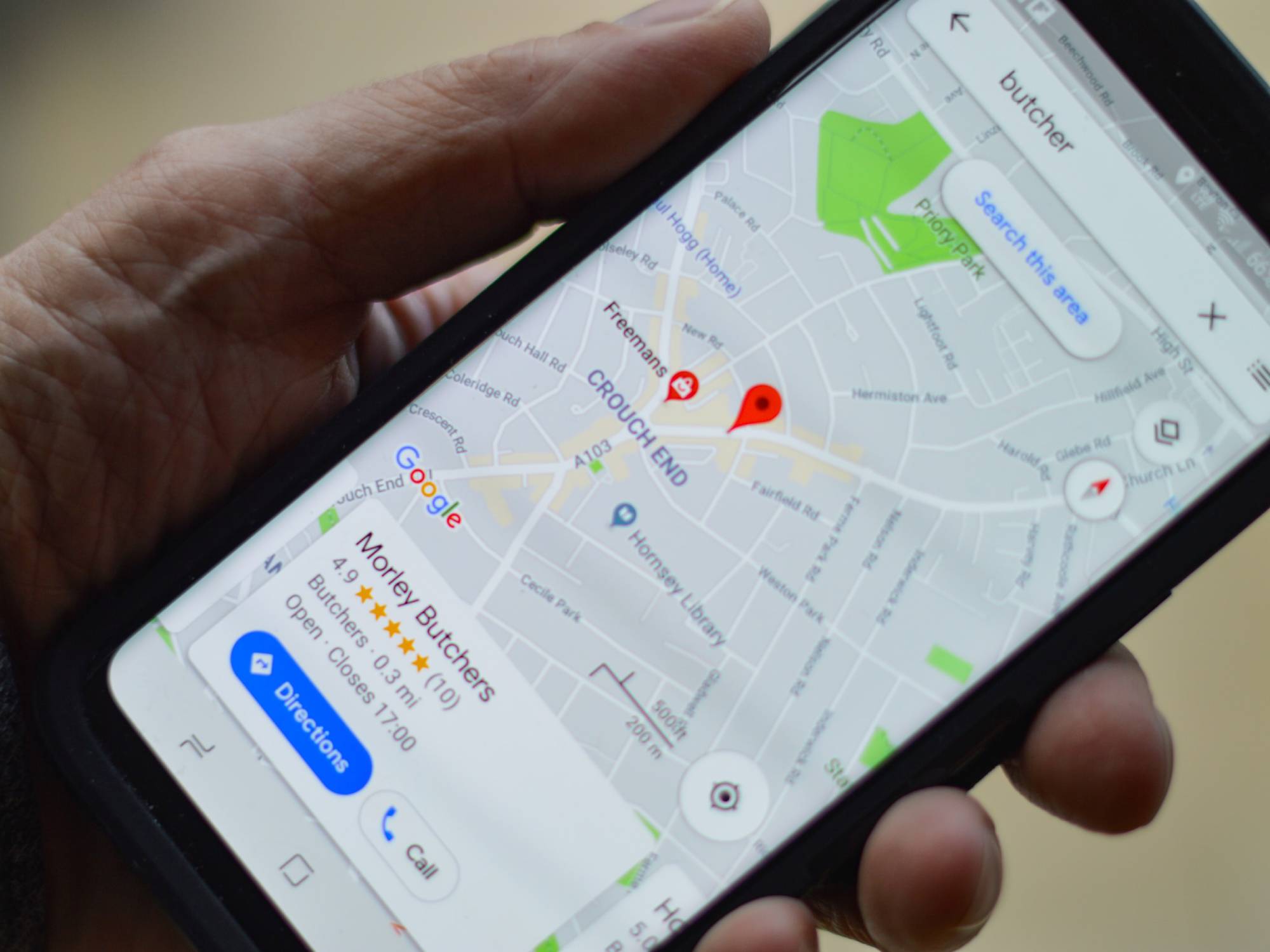
Google Maps also offers the option to search for places like restaurants or gas stations while en route. That means you can take one or more quick detours without having to reconfigure your whole journey. When you’re in navigation mode, just tap the search icon and you’ll be able to choose from broad categories—such as ATMs, coffee shops, restaurants, and convenience stores—or search for a particular place from the search box on top.
The app will show your suitable locations near your current route, together with their star rating and how long the detour will take. Pan around the map to see more suggestions. When you choose one, tap on it and then hit Add stop. Running some errands? You can add up to nine stop-offs on a single journey and rearrange them. To do this, exit navigation mode and tap the menu button (three dots, top right), and choose Edit stops.
Double-tap to zoom the map
This is a simple tip you might not know about: Double-tap and hold your finger on the Google Maps screen, then drag up or down to quickly zoom in and out. This works exactly like “pinching” the screen, but is hugely helpful when you’ve only got one hand free and are trying to get a closer look at a location.
Add custom names to your favorite places
Maybe your family has a specific spot on the beach they like to go to, or you want directions to grandma’s house without having to type in the address every time. To access these places quickly, you can add custom labels or names within Google Maps.
First, search for a place by typing an address, or just plant a pin somewhere on the map with a long press on the screen. Tap the bottom of the screen to bring up the place card, slide the button row all the way to the left, and choose Label to give your spot a name. All your places will be linked to your Google account, so they will show up across platforms as long as you’re logged in. If you’ve already labeled it, try searching for the name you gave the place in Google Chrome’s navigation bar.
Having a list of places you frequently visit will also make it easier to use voice commands with Google Assistant. That way, you can say “Ok, Google, take me home,” or “Take me to the gym,” instead of saying the actual addresses for those places every time you want to go there.
Get home with a single tap
If you’re using Google Maps on Android, you can take advantage of Android’s fondness for widgets by setting up a quick shortcut to get home. Get the widget selector up (on most Android phones, you can do so with a long press on a blank part of the home screen and select Widgets), then look for the Maps entries and choose the one marked Directions.
When you place a widget, you can choose an address and a mode of transportation, as well as other route options, such as avoiding toll roads. Set the destination as “Home” and you’re good to go. It makes sense to do this with places you go to frequently, such as your home or office, but you can do this with any place you want to have a tap away.
Check traffic ahead of time
Nobody likes being late, but because of fluctuating traffic conditions, travel time can vary a lot depending on when you check your route. Driving to the office, for example, will most likely take you a lot less time on a Sunday morning than during rush hour on a weekday. One way to make sure you’re always on time is to check how long a journey will take a day or two in advance.
When looking up directions on the web, click the Leave now button, then Depart at to tell Google Maps when you’re planning to start your trip. Set your time and date, and you’ll get a more realistic estimate of your traveling time. If you want to make your life even easier, you can choose an arrival time and Google Maps will tell you exactly when you’ll need to leave. Simply look for a place, then tap Depart at, and Arrive by on the first navigation screen. You’ll be able to set a specific time and date, and the app will adjust route recommendations according to traffic.
It might seem obvious, but keep in mind Google Maps can’t actually predict the future—it’s just using a wealth of data to make an educated guess. If you run into an unexpected crash on the road, you’re out of luck.
Get recommendations from Maps
One of the areas that Google Maps has focused on is recommendations. If you tap the Explore button on the tab at the bottom of the app’s home screen, you’ll see restaurants, bars, and other venues Google has picked out for you, based on where you’ve been in the past and the ratings you’ve left at other similar places.
[Related: How to hide your house on every map app]
Share your location
Sharing your location with friends or family can be really useful if you’re planning to meet up with someone, or want to let someone know you got home safely. Location sharing is built into Google Maps, so select people will be able to see where you are whenever they open the app.
To find the feature, tap the blue dot that represents your location on the map, then choose Share your location. Pick the contacts you want to share your whereabouts with, and for how long—from as little as 15 minutes to one day, or until you disable the feature. To check who can see where you are, tap your avatar in the top right corner of your screen and then Location sharing.