The brief lull in the Atlantic Ocean’s hurricane activity seems to have come to an end sooner than we’d hoped. A new tropical depression is brewing in the western Caribbean Sea, and it could threaten the United States this weekend and early next week. It’s still too soon to know what effects the storm will have, but the threat exists for a potential hurricane to approach the Gulf Coast on Sunday or Monday.
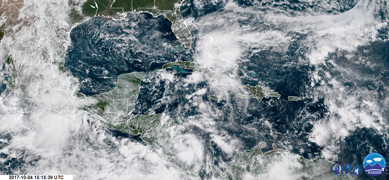
Tropical Depression Sixteen formed from a vast area of thunderstorms that have been churning off the coast of Nicaragua for the past couple of days. As of Wednesday afternoon, the system isn’t looking too shabby on satellite imagery. The thunderstorms that make up the tropical depression are beginning to wrap around the low-pressure center at the surface, and the storm seems to be developing the healthy, curved outflow needed to help exhaust rising air. The depression has the look you’d generally expect to see from a weak storm that will soon start to strengthen.
The system (which will be named Nate if it grows into a tropical storm) is in exactly the spot you would expect to see a storm form in October. Tropical activity in the Atlantic transitions to the Caribbean later in the year, as weather patterns change with the changing seasons. Unfortunately, this is also the warmest part of the ocean right now. The western Caribbean hasn’t seen any tropical storms this year to churn the built up summer heat, so any systems that traverse this water will have plenty of fuel to feast on.

Soon-to-be Tropical Storm Nate will have to survive an encounter with Central America before it can pose a threat to the continental United States. Weak storms like this don’t always persist as they track over land, especially land as hilly as that seen in Nicaragua and Honduras. The system will make landfall in these countries on Thursday morning and reemerge over the Caribbean late that night. For Central America, flash flooding and mudslides from heavy rain pose the biggest threats. Parts of Nicaragua could see one to two feet of rain by the end of the week. Even a tropical depression or weak tropical storm can pose a significant threat to life due to flash flooding, which is exacerbated in mountainous countries like those found in Central America.
But assuming the storm survives beyond this region, it will encounter a favorable environment as it closes in on the United States. Lower wind shear, toasty waters, and a steady flow of moist air will help the system organize and gather strength as it approaches the Gulf of Mexico. A large high-pressure system over the western Atlantic Ocean will block the storm from turning east and heading out to sea. The high will guide the storm north toward the Gulf of Mexico before it slowly starts to recurve toward the northeast.
It’s too soon to talk about specific outcomes for the United States. Five days is an eternity in tropical weather; forecasts can change dramatically in short order. The National Hurricane Center currently expects the system to be a hurricane when it approaches the northern Gulf Coast on Sunday, but the storm could be as far west as Louisiana or as far east as the Florida peninsula by that point. The strength of the high-pressure system over the Atlantic will determine which way the storm goes when it gets closer to land. Even a small change in the track can make a huge difference later on. The true spread of possibilities is larger than the cone of uncertainty—the average margin of error forecasters make in the predicted track of a storm—on hurricane forecasting maps.
There’s also a chance that the storm could grow much stronger than anticipated in a couple of days. Most of this year’s hurricanes intensified much faster than expected. Rapid intensification is always a concern with storms like this, especially since future-Nate will track over such warm water as it approaches the Gulf. The National Hurricane Center issues full forecasts every six hours and intermediate updates every three hours as long as there are watches and warnings in effect for land, and this is a storm worth watching closely.
This is the time to prepare for a potential storm if you live anywhere near the coast. As we’ve seen with Hurricanes Harvey and Irma this year, you don’t have to live right on the ocean to feel significant impacts. Flooding from heavy rain, power outages and structural damage from strong winds, and even some tornadoes can stretch far inland as a storm spins ashore. Everyone from Louisiana to Florida should pay close attention to forecasts, and make sure to have a game plan in case Nate heads their way.
