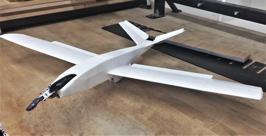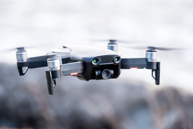

Sometimes it’s hard to get the big picture from the ground. In a vineyard, the color of vines and signs of stress are easier to see, especially for a whole field, from the sky. Today, this kind of aerial surveying for agriculture can be done with an appointment and service fee from a manned airplane or helicopter, but in the future it could all be done by drones the farmers’ themselves own.
DRNK Wines, a vineyard located in Sebastolpol, California, recently had 3D Robotics, the drone company founded by former Wired editor-in-chief Chris Anderson, fly a drone over its fields. 3D Robotics specializes in piloting systems for smaller drones, and the vineyard used 3D Robotics’s route-plotting software for mapping out the drone’s precise path. In just an hour, the drone flew over the field snapping pictures, then stiched together the pictures to create a comprehensive map of the vienyard. Looking over the newly created field map, farmer Ryan Kunde noticed two things he expected, and one he didn’t. The top of the hill had darker vines, indictating more water and better soil, than the lower slopes. That variation was expected. Unexpected was a fertile crescent at the bottom of the hill, with darker vines indictating a second especially good growing patch. With that knowledge, Kunde sampled grapes from the crescent, and decided which part of his crop to harvest first.
Watch a video of the flight and the farmers below:


