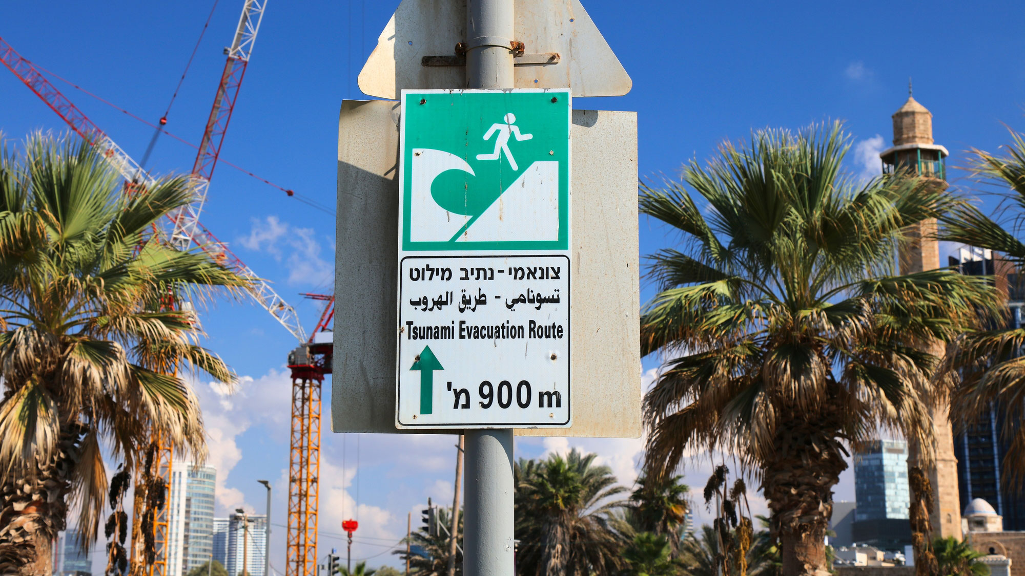

To mitigate the death and disaster brought by tsunamis, people on the coasts need the most time possible to evacuate. Hundred-foot waves traveling as fast as a car are forces of nature that cannot be stopped—the only approach is to get out of the way. To tackle this problem, researchers at Cardiff University in Wales have developed new software that can analyze real-time data from hydrophones, ocean buoys, and seismographs in seconds. The researchers hope that their system can be integrated into existing technology, saying that with it, monitoring centers could issue warnings faster and with more accuracy.
Their research was published in Physics of Fluids on April 25.
“Tsunamis can be highly destructive events causing huge loss of life and devastating coastal areas, resulting in significant social and economic impacts as whole infrastructures are wiped out,” said co-author Usama Kadri, a researcher and lecturer at Cardiff University, in a statement.
Tsunamis are a rare but constant threat, highlighting the need for a reliable warning system. The most infamous tsunami occurred on December 26, 2004, after a 9.1-magnitude earthquake struck off the coast of Indonesia. The tsunami inundated the coasts of more than a dozen countries over the seven hours it lasted, including India, Indonesia, Malaysia, Maldives, Myanmar, Sri Lanka, Seychelles, Thailand and Somalia. This was the deadliest and most devastating tsunami in recorded history, killing at least 225,000 people across the countries in its wake.
Current warning systems utilize seismic waves generated by undersea earthquakes. Data from seismographs and buoys are then transmitted to control centers that can issue a tsunami warning, setting off sirens and other local warnings. Earthquakes of 7.5 magnitude or above can generate a tsunami, though not all undersea earthquakes do, causing an occasional false alarm.
[Related: Tonga’s historic volcanic eruption could help predict when tsunamis strike land]
These existing tsunami monitors also verify an oncoming wave with ocean buoys that outline the coasts of continents. Tsunamis travel at an average speed of 500 miles per hour, the speed of a jet plane, in the open ocean. When approaching a coastline, they slow down to the speed of a car, from 30 to 50 miles per hour. After the buoys are triggered, they issue tsunami warnings, leaving little time for evacuation. By the time waves reach buoys, people have a few hours, at the most, to evacuate.
The new system uses two algorithms in tandem to assess tsunamis. An AI model assesses the earthquake’s magnitude and type, while an analytical model assesses the resulting tsunami’s size and direction.
Once Kadri and his colleagues’ software receives the necessary data, it can predict the tsunami’s source, size, and coasts of impact in about 17 seconds.
The AI software can also differentiate between types of earthquakes and their likelihood of causing tsunamis, a common problem faced by current systems. Vertical earthquakes that raise or lower the ocean floor are much more likely to cause tsunamis, whereas those with a horizontal tectonic slip do not—though they can produce similar seismic activity, leading to false alarms.
“So, knowing the slip type at the early stages of the assessment can reduce false alarms and complement and enhance the reliability of the warning systems through independent cross-validation,” said co-author Bernabe Gomez Perez, a researcher who currently works at the University of California, Los Angeles in a press release.
Over 80 percent of tsunamis are caused by earthquakes, but they can also be caused by landslides (often from earthquakes), volcanic eruptions, extreme weather, and much more rarely, meteorite impacts.
This new system can also predict tsunamis not generated by earthquakes by monitoring vertical motion of the water.
The researchers behind this work trained the program with historical data from over 200 earthquakes, using seismic waves to assess the quake’s epicenter and acoustic-gravity waves to determine the size and scale of tsunamis. Acoustic-gravity waves are sound waves that move through the ocean at much faster speeds than the ocean waves themselves, offering a faster method of prediction.
Kadri says that the software is also user-friendly. Accessibility is a priority for Kadri and his colleague, Ali Abdolali at the National Oceanic and Atmospheric Administration (NOAA), as they continue to develop their software, which they have been jointly working on for the past decade.
By combining predictive software with current monitoring systems, the hope is that agencies could issue reliable alerts faster than ever before.
Kadri says that the system is far from perfect, but it is ready for integration and real-world testing. One warning center in Europe has already agreed to host the software in a trial period, and researchers are in communication with UNESCO’s Intergovernmental Oceanographic Commission.
“We want to integrate all the efforts together for something which can allow global protection,” he says.
