Can the people of the world be fed without ruining the planet in the process? Among the many scientists, organizations, companies, and farmers working on this problem is Microsoft. Yesterday, the tech giant open-sourced what they call the toolkit for the farm of the future. It’s a set of algorithms designed to increase food yield while decreasing cost and environmental impact.
“The soils are not getting any richer,” says Ranveer Chandra, who founded Microsoft’s agriculture research division in 2014. “The water levels are receding; then there’s climate change. How do you get the world to grow more nutritious food in a sustainable way? One of the most promising approaches is that of data-driven agriculture.”
Agriculture is the fifth-greatest greenhouse gas emitter in the world, responsible for over 11 percent of annual emissions. Yet, it is integral to the survival of humanity and is in peril from climate change-related extreme weather events, like drought.
[Related: Why the road to robotic farming is uncertain]
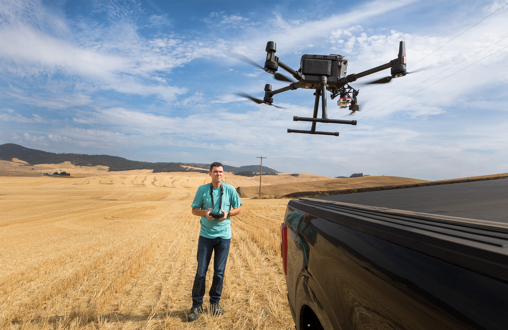
Inspired by this predicament, Microsoft Research started their agricultural research division eight years ago, with the goal of creating “farmer-augmenting” technologies like the newly released FarmVibes.AI. Inside FarmVibes.AI is a package of algorithms intended to help agriculturalists like Washington-based farmer and software engineer Andrew Nelson increase accuracy when it comes to planning, planting, harvesting, and distributing their crops. The Microsoft Research team has been testing out Project FarmVibes on Nelson’s 7,500 acre farm since 2017, where he saved 35 percent on one herbicide alone this spring. With the help of Microsoft and his background in computer science, Nelson flew drones and put sensors in the ground while running Project FarmVibes’ algorithms. Together, these tools let him create maps to strategically spray herbicides and understand ideal seed depths for planting. Now, some of these same algorithms are becoming open-sourced, meaning anyone can download them, redistribute them, and edit them for their own use.
Fertile ground
FarmVibes.AI is only the first of Project FarmVibes’ several software releases planned with the goal of increasing precision and productivity in farming. This first release includes four main components in the FarmVibes.AI suite. One component, Async Fusion, uses in-ground sensors along with drone and satellite images to create maps of nutrient and moisture distribution across a select patch of land, giving farmers information on where fertilizer and seeds should be placed, thereby reducing overfertilization and waste.
Then there’s SpaceEye, another now open-source FarmVibes.AI program announced by Microsoft in December 2021, which can digitally remove clouds from satellite images and enable farmers to detect where weeds are growing so they can apply herbicide more precisely. “SpaceEye takes radar imagery, and the signals go through clouds,” Chandra says, revealing the previously obscured land underneath. “Then we use another AI scheme we developed called partial observation GANs, and we start predicting what image is below the clouds,” Chandra adds.
Another FarmVibes.AI tool, DeepMC, brings hyper-localized climate predictions to farmers by gathering information on temperature, pressure, humidity, radiation, precipitation, wind, and more from a distributed sensor network and forecast data from local stations. These micro-climate predictions allow farmers to customize what they plant and when to the conditions specific to their farm.
“For some of our chemicals, if you apply them and there’s a freeze, you lose 40 percent of your yield,” says Nelson. ”The problem is, our weather forecasts are very general for the area, and we have rolling hills. Sometimes between the top and bottom of the hill, there can be a 10 to 20-degree difference, so having the localized DeepMC down at the crop level makes a big difference.”
Carbon capture
As for sustainability, FarmVibes.AI has a “what if” analytics tool that estimates the impacts of farming on carbon sequestration. As plants, including Nelson’s crops, photosynthesize, they absorb carbon dioxide, a greenhouse gas from the air. These plants then store this carbon in their own biomass, thus contributing to atmospheric carbon removal. Soil is made from decayed plants, making it the largest terrestrial carbon sink in the world. If farmers choose to take precautions through methods like conservation tillage and minimally disrupt their soil, they can help promote prime conditions for sequestration. Through the “what if” tool, farmers can learn how the conditions on their farm combined with farming methods can best allow them to store carbon. This may generate an additional source of income for farmers in carbon credits, earning farmers up to 30 dollars per acre per year at popular startup Indigo Ag.

But of course, plants aren’t the largest producers of greenhouse gasses in agriculture; it’s animals—more specifically, cows. Although Microsoft hasn’t done as much testing with animals, Chandra says these tools can be repurposed to gauge emissions from livestock. “Similar to how Andrew flies a drone to measure crop stress, we flew drones over cows in pasture. You could see how they were moving, how they were pooping,” Chandra says.
Although the tech isn’t intended to be directly used by farmers yet, unless you happen to be a software engineer like Nelson, the fact that it is now open-source does provide an avenue for Microsoft’s partners, like Land O’ Lakes and the USDA, to build products with these algorithms and release them to farmers, Chandra said.
[Related: Can industrial farming be a force for good?]
The release of FarmVibes.AI comes shortly after John Deere announced plans to bring new autonomous tractors to market. John Deere has said it will build a fully autonomous farming system by 2030. This development is in line with where Microsoft is headed with its agriculture projects. “We have partners that work in the autonomous tractor space,” Chandra says. “We would expect our precision agriculture tools to be able to feed into tractors. I think the challenge is how do you do that at an even more micro scale? And that’s some of what we’re looking at.”
Ultimately, FarmVibes’ success lies in its ability to aggregate existing tools that have previously worked separately from one another or were difficult to overlay, Nelson says. Now, Nelson is able to create a map in 18 minutes of where he should spray his field. Previously, that would have taken days. “It’s definitely stepping stones,” he says.
Correction on Oct. 7: This article has been updated to clarify that it was Microsoft’s agricultural division that began in 2014, and not Project FarmVibes. Additionally, it has been updated to clarify that Nelson is now able to map his field in 18 minutes, not spray them in that amount of time.
