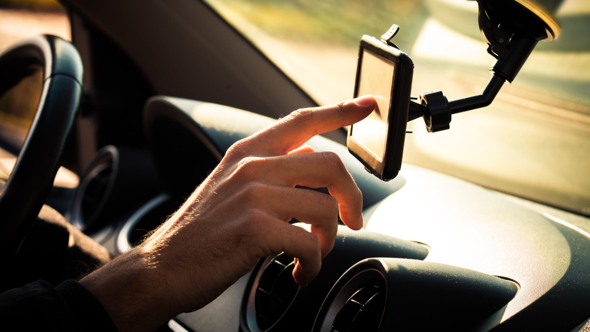
Traffic mapping apps allow you to choose the fastest route, avoid highways or tolls, and even determine the most eco-friendly paths. But the newest choice could provide commuters a completely different peace of mind: the safest drive possible.
According to their paper published in Analytic Methods in Accident Research, a team at the University of British Columbia has designed an algorithm capable of analyzing real-time traffic data to determine which routes offer the least risk of accidents and road hazards. To test their system, researchers deployed 10 drones over downtown Athens, Greece to monitor the area’s vehicle speeds, acceleration rates, and positions. That data, which included “near-miss” assessments, was then fed into their newly crafted algorithm to assess the safety of various routes and options.
“This research is the first to use real-time crash risk data to provide navigation directions and give you the safest possible driving route through a city,” said Tarek Sayed, a civil engineering professor at UBC said in a statement. “The algorithm is capable of adjusting directions in real-time, suggesting detours to avoid hazardous locations. This helps enhance road safety for all users. For instance, companies will be able to route their fleet efficiently, prioritizing safety and reducing crash risk.”
[Related: Bug brains are inspiring new collision avoidance systems for cars.]
Interestingly, the researchers also discovered that a map’s fastest routes frequently did not overlap with its safest directions. In one section of the Athens roadways, for example, just 23 percent of its fastest routes were also considered its safest. On average, the area’s safest options used a little over half of the same roads determined for the quickest routes.
“There was a clear trade-off between safety and mobility,” explained Tarek Ghoul, a PhD student involved in the study. According to Ghoul, their algorithm’s safest routes were on average 22 percent less hazardous than its fastest route alternative, “suggest[ing] that there are considerable gains in safety on the safest routes with just a small increase in travel time.” Additionally, “intermediate routes” that balance both safety and drive times could offer pathways whose benefits “by far outweigh” any minor increased roadtimes.
Such safety-focused algorithms aren’t only limited to vehicles, say Sayed and Ghoul. In the future, the same systems could also be applied for cyclists who often face less-than-hospitable road conditions. The team hopes such real-time information could soon be implemented into popular map apps to provide travelers with safer routes—be it by car, bike, or simply on foot.
