
Just about everyone who drives has experienced moments where their navigation app of choice mistakenly sent them for a loop or failed to account for some minor roadway change. Though those errors are typically nothing more than pesky annoyances, inaccurate GPS routes can veer into dangerous territory when they occur in remote or hazardous areas.
A pair of German tourists navigating through Australia’s Queensland wilderness experienced that first-hand earlier this month after a Google Maps route allegedly sent them down a remote road leaving them trapped in the island’s isolated national park. The men were forced to abandon their vehicle and hike two days through the park, skirting their ways past snakes, spiders, and crocodiles, before finally making it to safety. A Google spokesperson told PopSci that the road has since been removed from Google Maps.
“We use a variety of sources to update Google Maps, including third party information, imagery and feedback from our community,” the spokesperson said.
What happened to the tourists?
The two tourists say they were using Google Maps to direct them towards Bamaga, a small town in Queensland’s northern region according to accounts they provided to the Australian Broadcasting Corporation (ABC). The app reportedly instructed the pair to enter the Oyala Thumotang National park via a remote dirt road. (The park’s website notes it has been closed to the public since December 1, 2023 through June 30, 2024) Once inside the park, the pair drove for around 30 miles before their vehicles suddenly got bogged down in wet mud. The tourists found themselves stranded and without cell service.
“Google Maps said we should go to the national park right away, and we thought just do it because maybe the main road is closed because of a high river,” Philipp Maier, one of the two men said in a recent interview with the ABC.
[ Related: 8 tips for navigating Google Maps like a pro ]
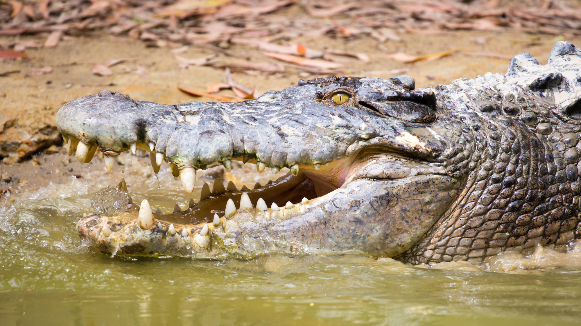
Stranded, the two camped out of their vehicle for nearly a week. With no sign of help arriving anytime soon, they decided to try and find a way out of the park on foot. Armed with a small drone which they used to scan overhead for signs of roads, the trapped tourists toiled through the dangerous bush for around 22 hours. During their journey, the two say they came across crocodiles, spiders, snakes, and wild pigs. The two cobbled together wood on the ground to create a makeshift shelter, though they admitted to the ABC it “wasn’t very good.” It rained for nearly the entirety of their journey.
Eventually, the two made their way to safety in a nearby town called Coen. Park rangers there assisted them and worked with a local mechanic to retrieve their vehicles. Roger James, a local Queensland Parks and Wildlife Service ranger, told local reporters this wasn’t the first time visitors had been led astray in the park due to Google Maps. He cautioned others against being overly reliant on GPS apps when traveling in the region.
“People should not trust Google Maps when they’re traveling in remote regions of Queensland, and they need to follow the signs, use official maps or other navigational devices,” James said in an interview with The New Zealand Herald.
The issue isn’t unique to Queensland either. Last year, local officials in a small Western Australian town two miles outside of Perth erected a sign telling drivers to turn around following several incidents where drivers following their GPS were sent down unsafe roads. Each year, around 38,000 people are reported missing in Australia, though the overwhelming majority (98%) of those people are eventually found safe.
Highly accurate GPS routes are critical as more drivers rely on apps for navigation
Last year, the family of a North Carolina man sued Google after the man, they claim, drove into a creek and drowned while following a Google Maps route. The driver’s mother-in-law claims the directions he was following led him towards a broken bridge hovering over a river. The family, who is suing Google for negligence, says the bridge had collapsed nearly ten years prior.
In another case, two 18-year-old men following a Google Maps route in 2018 were allegedly sent down an inactive shortcut in Russia’s infamous “Road of Bones” during the dead of winter. One of the men reportedly died of frostbite after the car’s radiators broke on the road. The passenger who later told officials about the Google Maps route, survived but suffered from extreme hypothermia. Google reportedly removed that route from its system days after the incident. More recently, a pair of doctors in India reportedly drowned in the Periyab River in Kerala after following a Google Maps route during a heavy monsoon, according to accounts from local law enforcement.
Deaths and serious injuries resulting from faulty GPS directions are relatively rare, but slight navigational errors are not. Around six in 10 (63%) of US drivers polled by Harris Interactive for travel brand Michelin Travel and Lifestyle said GPS had led them astray or directed them towards confusing routes in the past.
Drivers, in general, are also becoming increasingly dependent on navigation apps to get to their destinations. Nearly half (43%) of US adults surveyed by polling and market research firm YouGov in 2022 said they would not be able to navigate without access to GPS. That figure has the potential to grow even higher over time as more new drivers rely on GPS apps by default.
