These Beautiful Maps Of Flights Around The World Look Like Abstract Art
London sure looks pretty--and busy
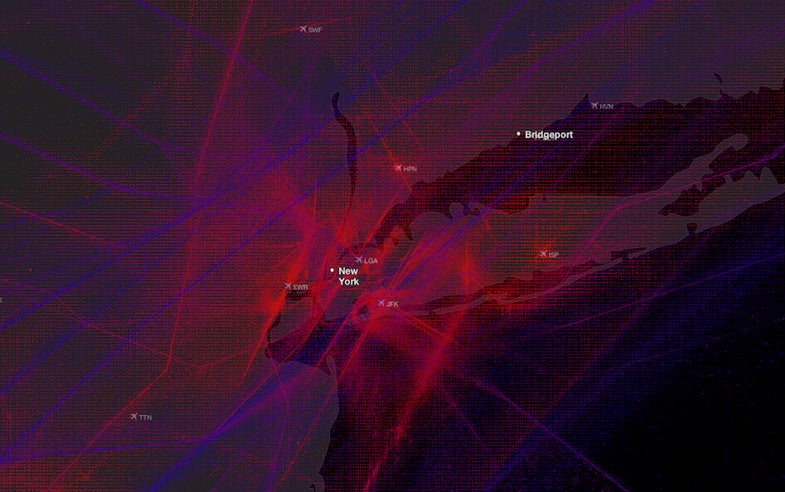
Using data from Plane Finder, which tracks flights in real-time, Alexey Papulovskiy created Contrailz, a beautiful visualization of those flights.
Type in a city, airport, or airport code, and Contrailz spits out a view of flight paths in the area. The red paths you see represent low-flying aircraft (which you see most frequently near airports), while blue paths represent higher-altitude flights. Check out Europe and you can see low-altitude flights hopping around between London, Madrid, Paris, and more.
Here are a couple looks at airports, but be sure to check out the full visualization here.

Madrid Airport

Moscow Airport
[Contrailz via Flowing Data]