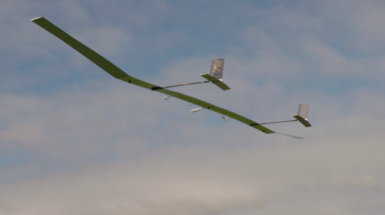
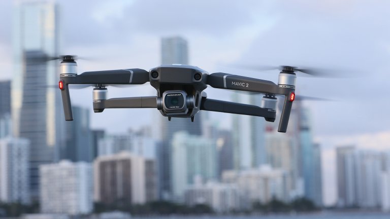
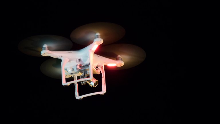
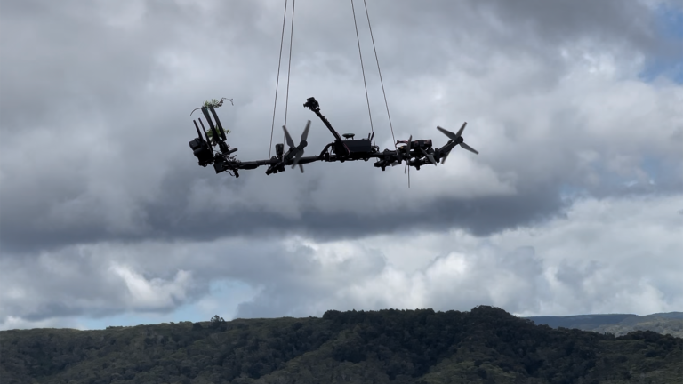
Drones
From small quadcopters to delivery drones to big robotic military aircraft, this is the latest on the uncrewed aerial vehicles (UAVs) buzzing through our skies today—or arriving tomorrow.
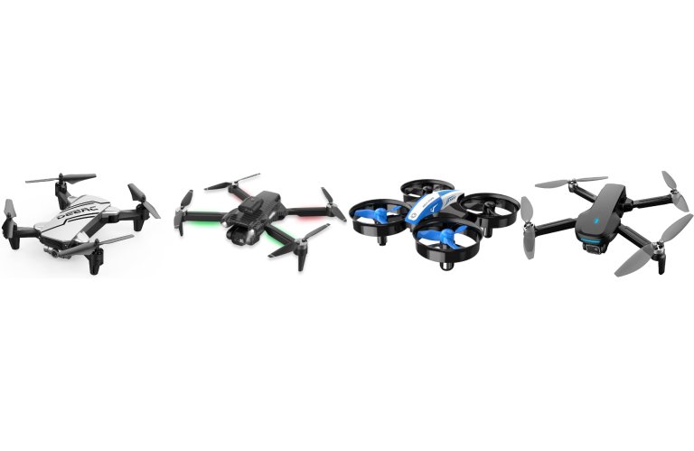
Latest in Drones
From small quadcopters to delivery drones to big robotic military aircraft, this is the latest on the uncrewed aerial vehicles (UAVs) buzzing through our skies today—or arriving tomorrow.