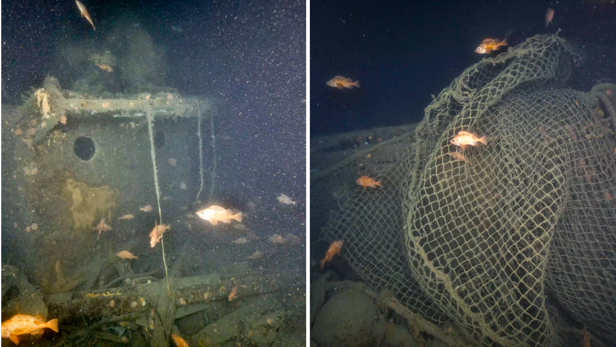
A remotely operated vehicle (ROV) and the submersible that rediscovered the Titanic recently captured images of yet another long-lost shipwreck. Researchers collaborating between the Royal Canadian Geographic Society (RCHS) and Woods Hole Oceanographic Institution (WHOI) have released the first images of famed explorer Ernest Shackleton’s final ship. Quest rests around 1,280 feet deep in the Labrador Sea.
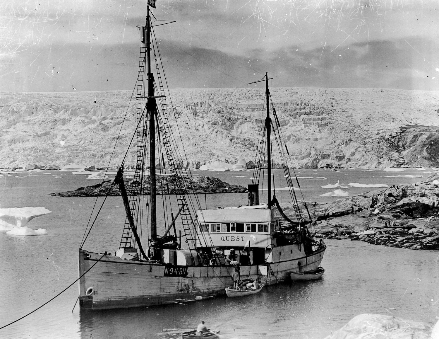
Although Ernest Shackleton survived his multiyear misadventure aboard the Endurance, he wasn’t so lucky during his final return attempt to the Antarctic. In 1922, the intrepid voyager died from a heart attack at the age of 47 while sailing on his 125-ton sealer ship. Shackleton’s death wasn’t the end of Quest’s career. A Norwegian family took possession of the vessel, returning it to its original hunting duties for another 40 years until ice floes crushed and sank it in the Labrador Sea on May 5, 1962.

First images of Quest, wreck of Ernest Shackleton's last ship, captured in Labrador Sea
Sonar scans conducted by the RCGS Shackleton Quest Expedition finally revealed the ship’s final resting place in 2024, which prompted plans for a return visit and closer inspection. The project ultimately involved the use of WHOI’s Falcon ROV along with DSV Alvin, which traveled deep into the frigid, murky Arctic waters to examine Quest’s current state.
“At first, there was a lot of darkness, but suddenly the bow emerge[d] as you [were] going towards it. It’s incredible,” RCGS CEO and expedition leader John Geiger said in a statement.
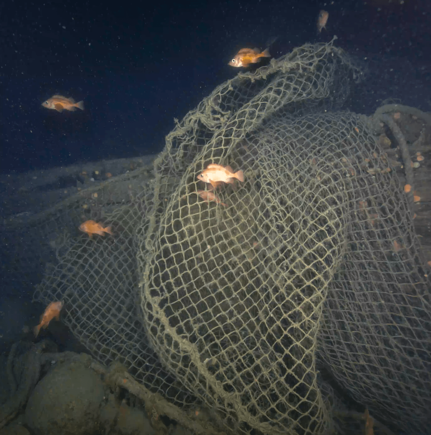
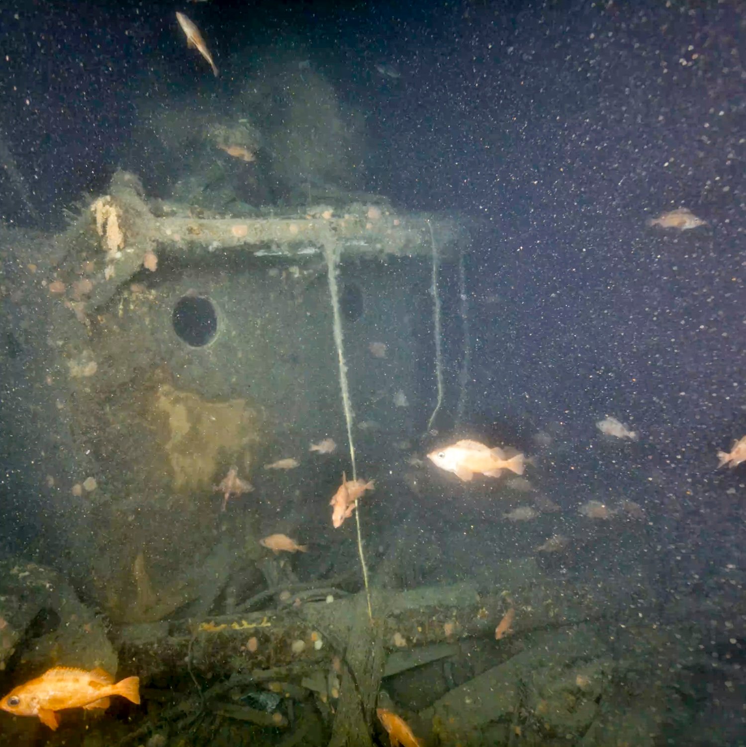
The bow, deck, and multiple portholes are still visible, although its main mast broke during sinking. Over six decades on the seafloor has transformed Quest into a marine habitat filled with pink corals and multiple residents such as cod, wolf fish, and red fish. Unfortunately, the local inhabitants aren’t alone—many areas of Quest are now hidden by multiple large, abandoned fishing nets lost by passing ships over the years.
“There’s a lot of damage to the ship. The nets are a sad story, limiting our ability to look at the wreck,” Geiger said. “I think we have to take responsibility for what we are doing to our oceans; that’s a huge issue.”
Researchers are now working to survey and map the wreckage using underwater photogrammetry technology, which will generate a 3D digitalization of the ship for additional examinations by both oceanographers and curious amateur historians.
“This type of 3D modelling has only existed in ocean science for the last couple of years, and it’s giving us entirely new ways to explore these historic wrecks and make them real for the public,” added WHOI’s expedition co-chief scientist Dwight Coleman.
In the meantime, the team is traveling northeast towards Greenland to survey Terra Nova, the final ship of Shackleton’s rival, Robert Falcon.