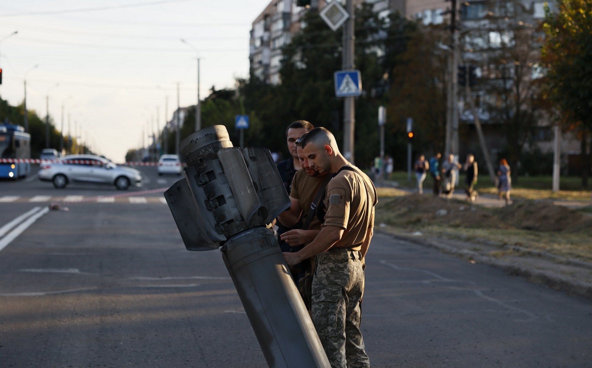
Since Russia invaded Ukraine in February 2022, the earth has been shaking—not from natural earthquakes, but from bombings and other wartime explosions. By harnessing seismic data from sensors within Ukraine, international scientists have used the ground-rocking tremors after explosions to track the events of the war.
This is the first time such data have been used to monitor explosions in an active combat zone in almost real-time. The results, published in the journal Nature, show far more explosions than previously reported: more than 1,200 explosions in the war’s first nine months, throughout Kyiv, Zhytomyr, and Chernihiv.
“Seismic data provide an objective data source, which is important for understanding what is happening in the war, for providing potential evidence where there are claims of breaches of international law, or for verifying individual attacks,” explains lead author Ben Dando, a seismologist at the Norwegian Seismic Array (NORSAR).
[Related: Ukraine claims it built a battle drone called SkyKnight that can carry a bomb]
Dando and his colleagues’ data comes from an array of 23 seismic sensors outside of Kyiv. From the signals recorded by these seismometers, the researchers were able to pinpoint the time, location, and intensity of each explosion. Smaller disruptions, like the blast that accompanies a gunshot, are too weak for these sensors to detect; what they can observe are almost certainly large impacts, such as those from missiles and bombs.
Such detections can bring clarity to the confusion of armed conflict. It’s especially vital in Ukraine, which has been flooded with disinformation and propaganda. Accurate and timely information on the events of a battle are key for other countries and watchdog organizations to intervene—especially if it seems like international laws are being broken. Marco Bohnhoff, a seismologist at the GFZ Potsdam German Research Center who was not involved in the study, told German magazine SPIEGEL that this kind of seismic monitoring could be used to confirm events and expose deliberate misinformation in war reporting.

Seismic data “can provide insight into how certain locations are being targeted and at what intensity,” Dando says. For example, the Nova Kakhovka dam in Ukraine was destroyed in June 2023, causing widespread flooding and a humanitarian crisis. Ukrainian officials claimed the damage was due to Russian bombing. If true, the destruction of civilian infrastructure would be considered a war crime under several international protocols. The hope is that seismic monitoring, like that done by Dando and colleagues, will provide further insight into situations like these and enable international responses.
[Related: The terrible history behind cluster munitions]
This is not the first time that scientific Earth-monitoring technology has overlapped with a conflict. Other techniques, namely satellite imaging, have also been used for this kind of surveillance in recent history, including during the Russia-Ukraine war. Satellites have captured images of destroyed infrastructure and large-scale movement of war materiel. A space-based NASA project intended to track human-made light sources at night, known as Black Marble, has even identified war-related power outages in Ukraine. Such satellite data “proves invaluable in identifying vulnerable populations deserving of immediate assistance,” says Ranjay Shrestha, a remote sensing expert involved with the Black Marble project at NASA Goddard Space Flight Center.
Remote sensing techniques have their limitations. They work best when coupled with on-the-ground information and context to produce accurate interpretations. “Consider, for example, instances in Ukraine where residents intentionally turned off their lights to reduce the risk of aerial attacks,” says Shrestha. “Without corroborating ground truth information, we might misinterpret the situation as a power outage resulting from infrastructure damage.”
Dando’s organization, NORSAR, was founded on the principle of using seismic data to study nuclear explosions as part of the Comprehensive Nuclear Test Ban Treaty. The 23 sensors outside Kyiv that powered this study are part of that system, which had been used to detect nuclear tests across the world that violate international law. Usually, though, there aren’t suitable high-quality seismic sensors so close to an active military conflict. “We’re now seeing that with the right sensors in the right place,” Dando says, “there is significant value that seismic and acoustic data can provide for active conflict monitoring.”
