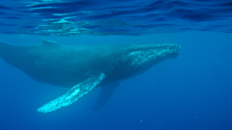
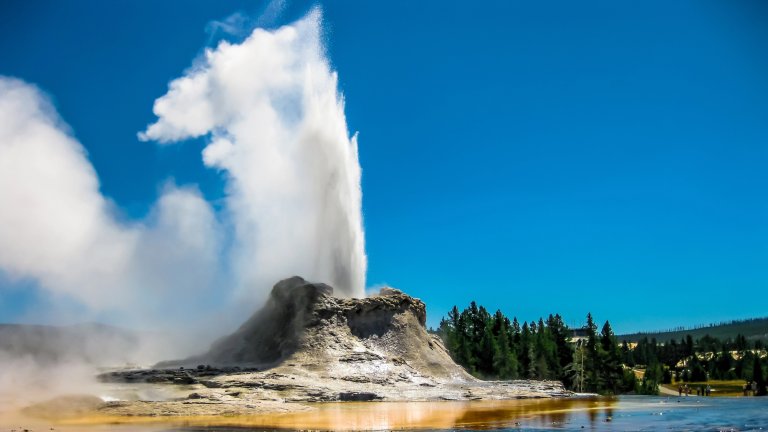
The free software from Google gives scientists a new world view


The Storm Trooper

Hurricane hunters plot a course with real-time satellite data
The nasa jetliner took off with eight crew members and 38 scientists on a mission to study how hurricanes form. Its target was the tropical depression swirling over the Atlantic Ocean near Cape Verde, Africa, that would soon strengthen into Hurricane Helene. Pilots planned to fly a figure eight through the nascent storm while scientists inside the McDonnell Douglas DC-8 sampled atmospheric conditions with an array of onboard sensors. An hour after takeoff, a scientist tracking the flight radioed with an urgent message: Veer left to avoid a barrage of lightning dead ahead.

Side Step: Here and above, from different angles: As scientists flew into the growing storm, ground crews monitored real-time satellite images overlaid with the planned route [green] and actual track [red] of the DC-8. When lightning [yellow crosses] appeared in the plane’s path, the crews directed a move to the left to avoid danger.  NASA/Tele Atlas/Terrametrics/Europa Technologies/Google Earth

That data came from the Real Time Mission Monitor (RTMM), a tool that uses Google Earth to combine up-to-the-minute weather imagery with live aircraft flight data. “We were able to see that the lightning intensity was pretty strong, and we wanted the plane to avoid a bad situation,” explains Michael Goodman, an atmospheric scientist at NASA’s Marshall Space Flight Center, which manages the project. “Prior to the RTMM, when we would do airborne field experiments, the planes would take off and those of us on the ground couldn’t follow them,” Goodman says.

Besides keeping aircraft out of harm’s way, program managers use the RTMM to ensure that scientists stay near the action. “These are dynamic weather situations,” Goodman says, “so we are much better able to coordinate our assets if we know where a plane is in relation to the weather.” The goal, after all, is to study storms up close, and that often means playing dodgeball with lightning.

Launch the RTMM here.

Want to learn more about the environment, solar energy, sustainability, and more? Subscribe to Popular Science and enter to win $5,000!

2 Comments

Google earth, is amazing, and if it can help to detect geothermal threats, it should be developed for such use to detect natural phenomenon, such as Methane gas excaping from the sea floor have long been suspect as the cause of misterious engine malfunctions within the Bermuda Triangle, it makes sence that we should track and moinitor areas of high concentration of methane and other geothermic gases above ground and at sea, which may hinder the lift of planes causing crashes and water displacements causing floating vessels to lose buoncy or sink. Dr Joyce Peters, Mind Body Health Programs, Products, Productions, Publications & Practice Expansions, Inc.

منتديات ,

منتدى ,

ارجوان ,

العاب جوال نوكيا , k

مسجات ,
مسجات حب  ,مسجات
وسائط ,

توبيكات ,
توبيكات مسن , 

دردشه ,

شات ,

شات ارجوان,

دردشة ارجوان,

مص القضيب ,

البنظر ,مسلسل
التركي دموع الورد ,

مسلسل التركي لا مكان لا وطن
اناشيد
طيور الجنه ,
طيور الجنه ,

اناشيد اطفال


Download Our iPhone App

Stay up to date on the latest news of the future of science and technology from your iPhone with full articles, images and offline viewing


Follow Us On Twitter

Featuring every article from the magazine and website, plus links from around the Web. Also see our PopSci DIY feed


Become a Fan On Facebook

Share links with friends, comment on stories and more


December 2009: Best of What's New

In our December issue, Popular Science names the 100 best innovations of the year: bombproof wallpaper, self-parking cars, the fastest helicopter, and 97 more. Plus inventor profiles and videos.

Check out the best of what's new here.

Popular Science Photo Pool


Share your photos in the Pop Sci pool at www.flickr.com!
tags_sprite.png
POP_embeddedForm_cover_May09.jpg