Imagine that you could detect the chemical makeup of a car, pipeline, or field of crops from space. In theory, that would allow scientists to identify leaks, runoff, pollution and more from a wide-scanning observatory hundreds of miles away from the target object.
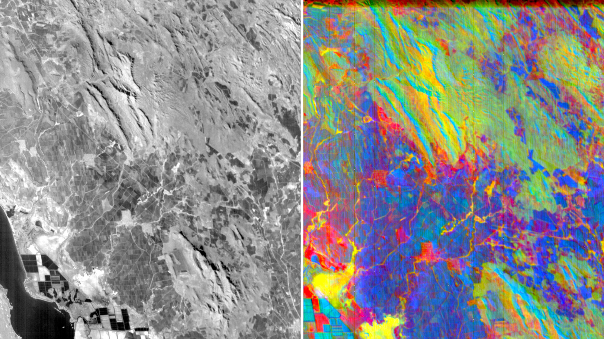
A technology called hyperspectral imaging makes that possible, and it does so by working with the different wavelengths of light. According to GIS Geography, this approach divides a spectrum of light into hundreds of “narrow spectral bands.” Based on how certain objects transmit, reflect and absorb light, they can be assigned a unique chemical signature.
The approach is a bit different from other remote sensing approaches that may measure microwaves or radio waves, and is more detailed than other spectral imaging technology that works with fewer bands of light.
Everything from trees, soils, metals, paints, and fabrics have a unique spectral fingerprint. Northrop Grumman’s hyperspectral imaging system, for example, can distinguish a maple from an oak tree, and within the tree, healthy growth versus unhealthy growth.
This fingerprint can allow satellites to pick up on nutrient variations, moisture levels, and more. While fundamentals of the tech has been around since the 1970s, it still needs to be further developed for commercial use and has been heavily investigated by various agencies and research groups for the better part of the last decade.
[Related: Google expands AI warning system for fire and flood alerts]
Key hurdles to this technique becoming more common have been bringing down the cost, miniaturizing the materials needed in such a system, developing software and machine learning models that can rapidly process and sort through the data, and getting better image resolution.
This year, a growing number of investments by private companies and government agencies around the world are bringing this technique to the forefront—which could be useful in the fields of agriculture, defense, environmental science, industrial settings, forensics, art, medicine, energy, and mining. A research report from Spherical Insights & Consulting predicts that the market for hyperspectral imagery will grow to be worth 47.3 billion by 2032. It is currently valued at around $16 billion.
In March, TechCrunch reported that the US National Reconnaissance Office awarded five-year study contracts worth $300,000 each to BlackSky, Orbital Sidekick, Pixxel, Planet, Xplore and HyperSat to add hyperspectral satellite imagery to its available suite of remote sensing tech. One of the companies, Pixxel, also saw a massive investment in its latest funding round from tech giant Google.
