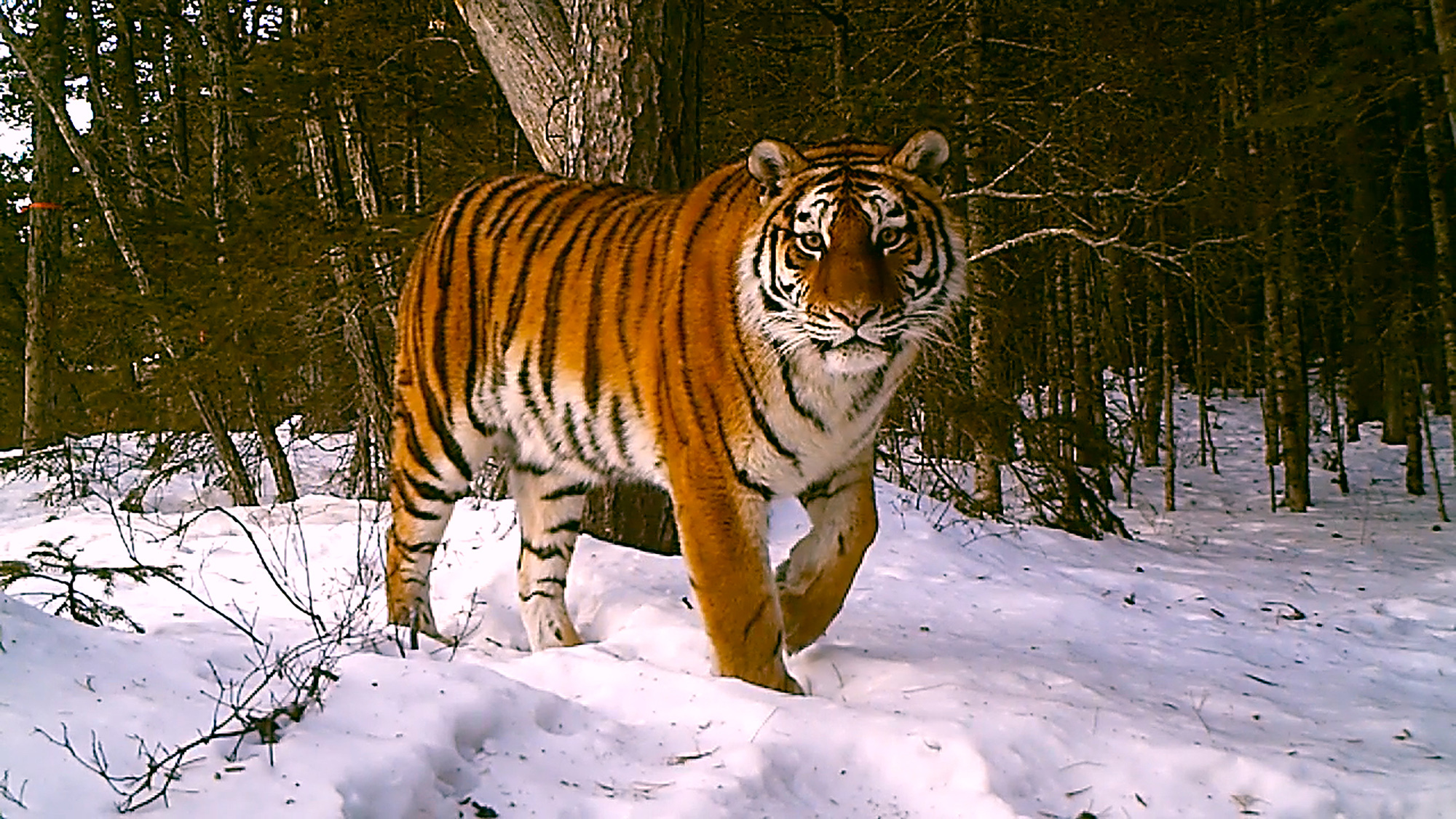
Less than 4,500 tigers remain in the world, according to the International Union for the Conservation of Nature (IUCN). Habitat loss continues to pose an immense existential threat to the planet’s largest cat species—a problem compounded due to the animals residing in some of Earth’s most ecologically at-risk regions and landscapes.
To better monitor the situation in real time, NASA, Google Earth Engine, and over 30 researcher collaborators are announcing TCL 3.0 today, a new program that combines satellite imagery and powerful computer processing to keep an eye on tigers’ existing and reemerging ecosystems.
“The ultimate goal is to monitor changes in real time to help stabilize tiger populations across the range,” Eric W. Sanderson, VP for Urban Conservation at the New York Botanical Garden and first author of a recent foundational study published in Frontiers in Conservation Science explained.
[Related: A new algorithm could help detect landslides in minutes.]
“Tiger Conservation Landscapes,” or TCLs, refer to the planet’s distinct locales where Panthera tigris still roam in the wild. Because of their size, diet, and social habits, tigers require comparatively large areas to not only survive, but flourish.
According to researchers, stable tiger populations “are more likely to retain higher levels of biodiversity, sequester more carbon, and mitigate the impacts of climate change, at the same time providing ecosystem services to millions of humans in surrounding areas.” In doing so, TCLs can serve as a reliable, informative indicator of overall environmental health markers.
Unfortunately, the total area of Tiger Conservation Landscapes declined around 11 percent between 2001 and 2020. Meanwhile, potential restored habitats have only plateaued near 16 percent of their original scope—if such spaces were properly monitored and protected, however, tigers could see a 50 percent increase in available living space.
Using this new analytical computing system based on Google Earth Engine data, NASA Earth satellite observations, biological info, and conservation modeling, TCL 3.0 will offer environmentalist groups and national leaders critical, near-real time tools for tiger conservation efforts.
“Analysis of ecological data often relies on models that can be difficult and slow to implement, leading to gaps in time between data collection and actionable science,” Charles Tackulic, a research statistician with the US Geological Survey, said in today’s announcement. “The beauty of this project is that we were able to minimize the time required for analysis while also creating a reproducible and transferable approach.”
Researchers say government and watchdog users of TCL 3.0 will be able to pinpoint tiger habitat loss as it happens, and hopefully respond accordingly. National summaries of initial available data can be found through the Wildlife Conservation Society, with more information to come.
TCL 3.0 provides an unprecedentedly complex and advanced monitoring system for one of the planet’s most threatened creatures, but as researchers note in their new study, the solution is arguably extremely simple.
“What have we learned about tiger conservation over the last two decades? Conservation works when we choose to make it so,” the authors conclude in their recent report. “Conservation is straightforward. Don’t cut down their habitat. Don’t stalk them, harass them, or kill them or their prey. Control poaching and extinguish the illegal trade in tiger bones and parts. Prevent conflicts with people and livestock wherever possible, and where and when not, then mitigate losses to forestall retaliation.”
Correction 2/27/24 5:53PM: This article has been updated to more accurately reflect the world’s remaining tiger population. PopSci regrets the error.
