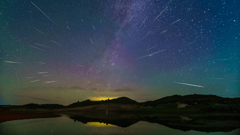
Space photo
SHARE

To stand underneath the glowing, otherworldly dance of the aurora is an experience on our bucket list. But if you (like us) haven’t had the chance to travel to the far reaches of the Earth to see the northern lights, Google Maps is here to help.

Today Google released some incredible pictures of the aurora borealis in Finland. Using Google Maps, you can now walk onto a frozen lake, look up, and see a ribbon of green stretching across the sky.

A team spent six nights in the snow before finally capturing the aurora with Google mapping hardware. The phenomenon is caused ] by solar particles slamming into the atmosphere near Earth’s magnetic poles, which guide the particles toward the planet. There are aurora forecasts available, but a number of factors (e.g. clouds) can make the aurora elusive to observers on the ground.

Of course, watching from the ground isn’t the only way to see the northern lights. In order to study the dynamics at work in the aurora, in 2013 NASA launched rockets into the aurora, and astronauts on the International Space Station regularly capture incredible pictures of the phenomenon from arguably the best vantage point of all: space.