Massive Ice Shelf Collapse
An iceberg 160 square miles breaks loose to leave one of the world's largest ice shelves hanging by a thread
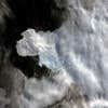
At 5,282 square miles the Wilkins Ice Shelf is one of the largest on the Antarctic Peninsula. It is also the latest casualty of global warming.
Satellite images released today by the British Antarctic Survey and the National Snow and Ice Data Center reveal a massive collapse over the past month—disintegration resulting in, most recently, a breakaway iceberg seven times the size of Manhattan.

Wilkins Ice Shelf Collapse
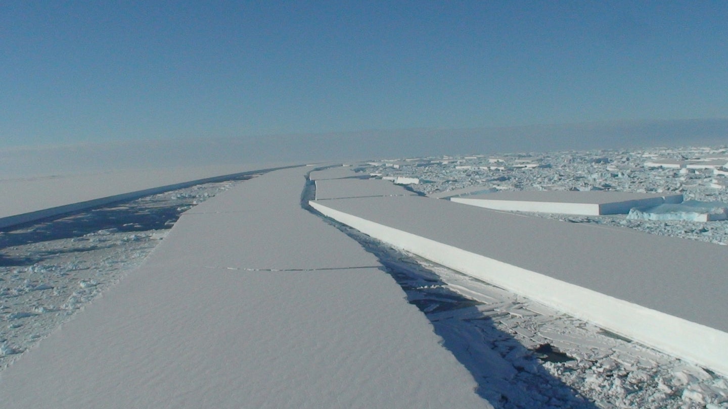
Now, the entire shelf is attached by a single strip of ice less than 4 miles wide. “The ice shelf is hanging by a thread,” said Professor David Vaughan of the BAS. “We’ll know in the next few days or weeks what its fate will be.” Over the last few decades the western Antarctic Peninsula has seen the biggest temperature change on Earth. It has also experienced an increasing number of major collapses as warmer temperatures and previously unexposed ocean waves erode its shelves. Wilkins, which scientists believe is at least a few hundred years old, is the largest yet to succumb, and likely a harbinger of more to come.
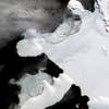
February 28, 2008
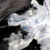
February 29, 2008
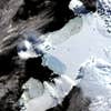
March 6, 2008
March 8, 2008
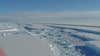
Overhead
Wilkins Ice Shelf Collapse