CHEOS– China’s New Eye in Space
While China has made many recent advances in defense space technology, it still lags behind the U.S. when it comes...
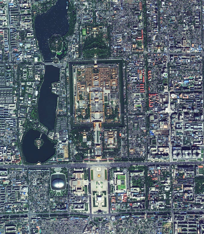
While China has made many recent advances in defense space technology, it still lags behind the U.S. when it comes to imaging satellites. But recent news shows it is catching up. On September 29, 2014, the Gaofen 2 released a series of stunning 1 meter resolution imagery of Beijing and Shanghai . China plans to launch another 5 satellites before 2020 to complete its China Earth Observation System (CHEOS). Those 5 satellites will include hyperspectral sensors, infrared sensors and synthetic aperture radar.
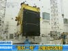
Gaofen 2

Gaofen 2 Launch
The Gaofen 2 was launched on August 19, 2014 by a LM-4B rocket and currently speeds past at an orbit 630km above the Earth’s surface. It has a resolution of up to 80 centimeters in panchromatic setting, and can instantly cover an area of up to 48km across. Resolution, in satellite imagery, is defined as the ability to distinguish between two objects (for example, a 3 meter resolution would allow one to identify two tanks parked side by side). In contrast, the U.S KH-11 Kennan Block IV spy satellites is widely believed to have an image resolution of about 10cm-15 cm, though it orbits at a much lower altitude and has a 2.4+ meter wide lens (images of the Gaofen 2 suggests it has a 1-1.2 meter wide lens). As a caveat, it is important to remember that China could have understated the actual imaging resolution of the Gaofen 2, with resolution below 80 cm classified only for military usage.

Beijing Airport Blown Up
However, a 80 cm resolution would be sufficient for a range of Chinese strategic intelligence needs, such as counting the number of Vietnamese fighters, tracking the location of a U.S. aircraft carrier, or monitoring Taiwanese tunnel construction activity. Most tellingly of the dual use nature of imaging satellites, it is operated by the State Administration of Science, Technology and Industry for National Defense; the State Administration says it plans to use the Gaofen 2 for civilian purposes of ” disaster relief, land use surveillance and mineral resource surveys”. Of course, just as the U.S. Defense Department purchases satellite imagery from vendors GeoEye and Digital Global, the PLA will probably have access to the Gaofen 2 if the need arises.
Say Cheese…or xiào yī xiào!
You may be interested in:
New Chinese Ballistic Missile Accidentally Pops up on Environmental Website
The Little Space Tug That Can