Google Maps Launches 3-D Snorkel View Of The World’s Greatest Reefs
A privately funded ocean survey is adding 50,000 underwater panoramic images to Google Maps.
Google Maps just unveiled a new ocean-level street view, which we’ll call Snorkel View, allowing anyone with an Internet connection to virtually dive with sea turtles other creatures in some of the world’s most pristine coral reefs. You can use the Street View tool in several tropical locales to zoom in and swim with the fishes.
_
Click to launch the photo gallery_
“Now, anyone can become the next virtual Jacques Cousteau and dive with sea turtles, fish and manta rays in Australia, the Philippines and Hawaii,” Brian McClendon, vice president of Google Maps and Earth and a self-described snorkeling enthusiast, wrote on the Google blog.
Google already has a suite of exclusive Street View imagery featuring locales that would be difficult to visit, from the Amazon basin to Antarctica, and even up close at Kennedy Space Center.
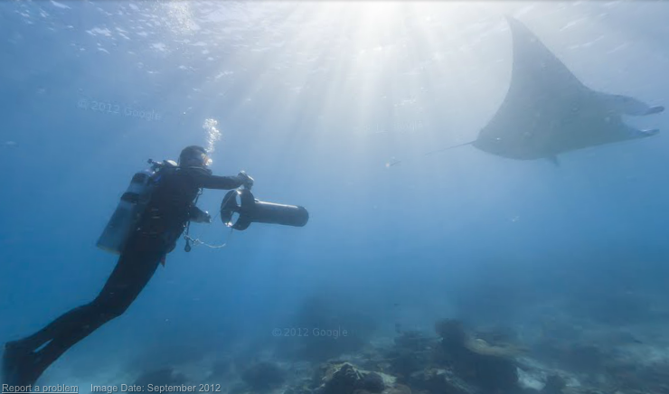
The images are from the Catlin Seaview Survey, a series of scientific expeditions to explore and survey Earth’s coral reefs. On shallow-water expeditions, divers are using a specially designed tablet-operated underwater camera, the SVII, to capture the images. On deep-water dives, the survey plans to use robots and HD cameras. The project is funded by a private insurance entity called Caitlin Group Ltd., which has already funded environmental surveys in the Arctic.
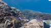
The survey will take up to 50,000 360-degree panoramic images that will be added to Google Maps, focusing on areas in the Great Barrier Reef and locations in the Philippines and Hawaii. Check out some sample imagery in our gallery.
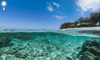
Lady Elliot Island
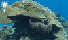
Apo Island, Philippines
Wilson Island
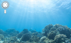
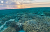
Sunlight Above the Reef
Sea Turtle in Street View
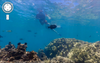
Divers in Street View

Manta Ray Snorkel View