Cloud Seeding Could Cool Off Seas Where Hurricanes Form, Making Them Weaker
Hurricanes form in warm tropical waters, drawing strength from the heat of the ocean surface — that’s why they are...
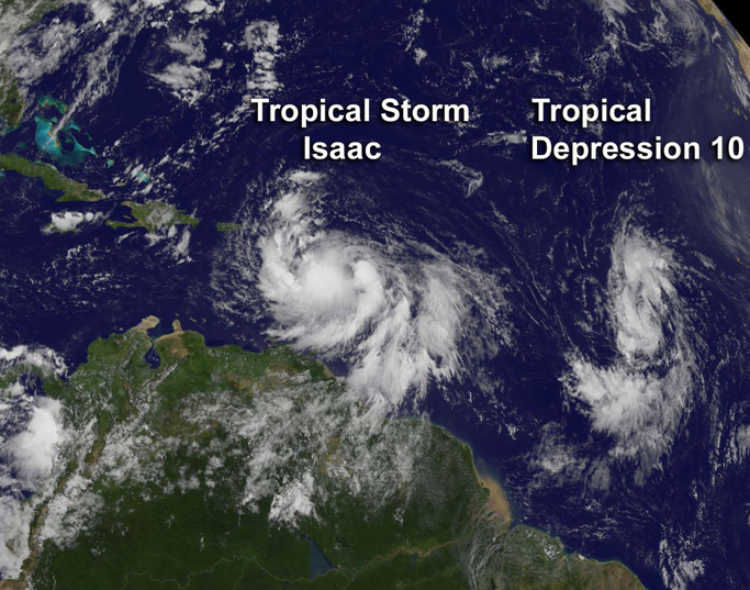
Hurricanes form in warm tropical waters, drawing strength from the heat of the ocean surface — that’s why they are expected to worsen as sea surface temperatures increase. But if we could cool them off, they may chill out and decrease in strength. Cloud seeding the areas in front of their path might be a way to do this, a new study says.
The idea is to target marine stratocumulus clouds, which cover about a fourth of the world’s oceans. Reflecting more light away from the sea surface would theoretically prevent it from getting as warm. “Then there will be less energy to feed the hurricanes,” said Alan Gadian of the University of Leeds.
In this concept, a fleet of drones at or near the surface could spray sprinkles of seawater droplets, some of which would rise into the atmosphere. The increased droplet concentration would make the clouds thicker, causing them to last longer and reflect more sunlight, the Leeds scientists say. By the way, this is the same basic technique Beijing officials used to create rain during the 2008 Olympics.
The scientists ran calculations and found this cloud-brightening technique could decrease the sea surface’s temperature by a few degrees, and thereby drop hurricanes’ strength down an entire category.
One major downside: Cloud seeding interferes with the atmosphere’s natural cycles, so laying a path for new clouds over the ocean would draw moisture away from nearby areas. Like, for instance, the Amazon rainforest. Any future cloud seeding efforts would have to be very careful.
The new study appears in Atmospheric Science Letters.
[via ScienceDaily]